VIDEO: Severe Cat-5 Cyclone ILSA moves in to WA (+14 maps in story below)
13/04/2023 8:21am

> From the WeatherWatch archives
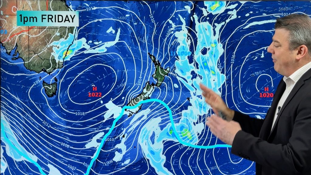
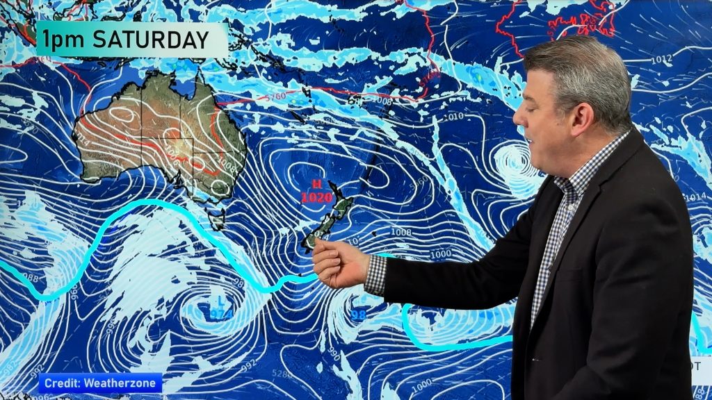
8:20pm Thursday — A severe tropical cyclone will make landfall in Western Australia overnight tonight as NZ’s weather pattern remains the same with more downpours and isolated thunderstorms for at least another 24 hours, before finally easing.
As of 7pm Thursday New Zealand time (several hours after this video was published) ILSA has been upgraded to a Category 5 storm. Tracking remains similar (see below for 7pm updated tracking map).
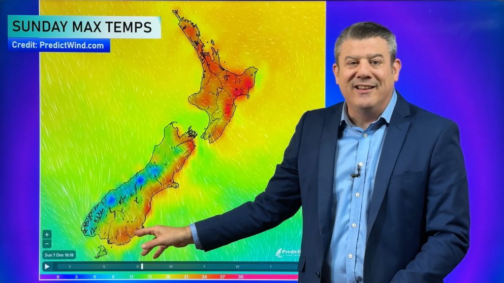
The video takes a look at NZ’s weather as it takes a change this weekend and next week with high pressure parked to our east – encouraging a week- ong northerly quarter airflow – this will keep NZ above normal temperature-wise.
Make the most of it, as the last week of April looks colder! In Australia TC Ilsa makes landfall tonight/overnight near Port Hedland and then tracks inland over Friday, reaching Alice Springs by Friday night/Saturday as a mostly rain event. Behind the cyclone a big cold southerly will blast into Perth – and this will reach NZ in the last week of April.
**P lease note, the video was published several hours before Ilsa reached Category 5. Intensity and tracking remains similar to the video. Very latest official warnings can be found at www.bom.gov.au/cyclone/ **.

Comments
Before you add a new comment, take note this story was published on 13 Apr 2023.


Add new comment
Derek Butcher on 13/04/2023 12:40am
Excellent coverage and amazing explanation of the pressures in cyclone versus southern low. I found it all very interesting Phi. Thank you.
Reply