VIDEO: Rain, humidity & sub-tropical air for NZ as Aussie has cold change
2/05/2023 11:44pm

> From the WeatherWatch archives
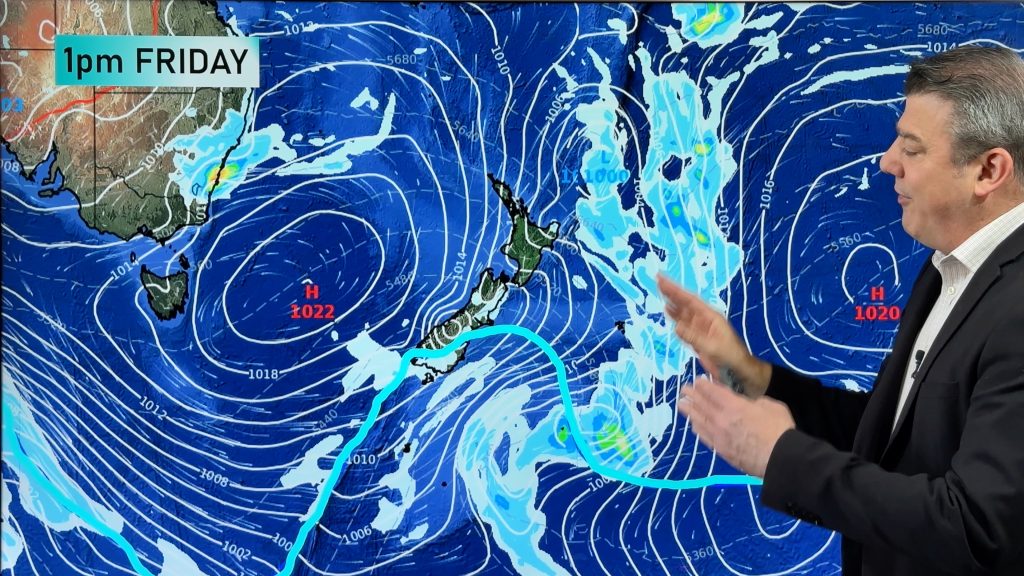
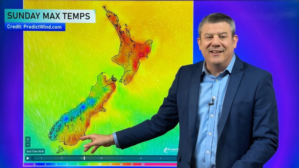
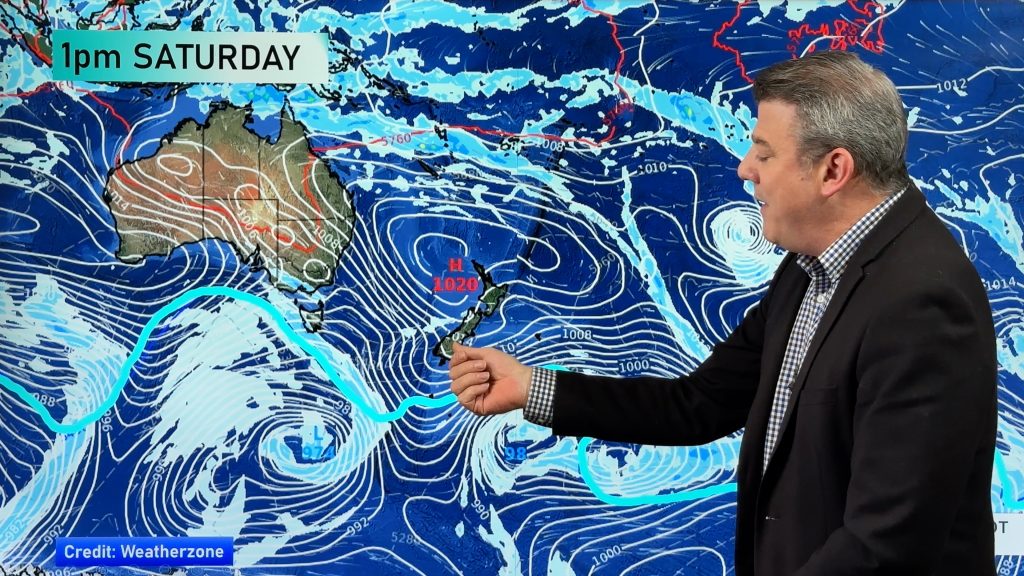
The rest of this week and the weekend will be warmer than average for most if not all of New Zealand as sub-tropical air continues to flow down over us thanks to a huge high pressure zone out to our east.
This set-up remains until the start of next week bringing above average temperatures both by day and night, plus some heavy rain which is aligning with the western side of NZ (in both islands), and the top of both main islands too.
In Australia a colder southerly is coming through, mainly this weekend and ramps up further into Sydney and NSW on Monday – as NZ continues with a mild airflow.
Comments
Before you add a new comment, take note this story was published on 2 May 2023.


Add new comment
Simon on 3/05/2023 10:32pm
Hi Phil, we have a question from here in the office. Is there a reason why highs tend to drift over NZ then park themselves out to the east? Thanks and keep up the great work.
Reply
WW Forecast Team on 3/05/2023 11:01pm
Hi Simon, the main weather current in our skies/atmosphere is driven around the poles – so the Southern Ocean area is the main driver. If it was a river, it would be like the Waikato River – big with a strong current. NZ is on the outer edges of this westerly current and high pressure zones travel along the top/northern edge of this Southern Ocean westerly flow. Sometimes a high as big as the one we’ve got can escape the flow/pull of the Southern Ocean westerlies. So it sits north of it like a big bubble and doesn’t have anything to really push it along. Basically trapped between the easterly flow in the tropics and the westerly flow above the Southern Ocean. Eventually it will shrink or be pushed along – but for now it’s stalled to our east for about a two week period. Sometimes this can occur in the Tasman Sea and that’s when NZ is most likely to have extended dry weather and droughts if it happens over and over in summer. Another analogy – the Southern Ocean is the motorway, NZ is an off ramp and sometimes the traffic (lows/highs) get stuck here.
Hope that helps!
Cheers
Phil D
Reply