VIDEO: NZ’s Easter Weekend weather looks messy for some, great for others (8 day forecast)
24/03/2024 11:30pm

> From the WeatherWatch archives
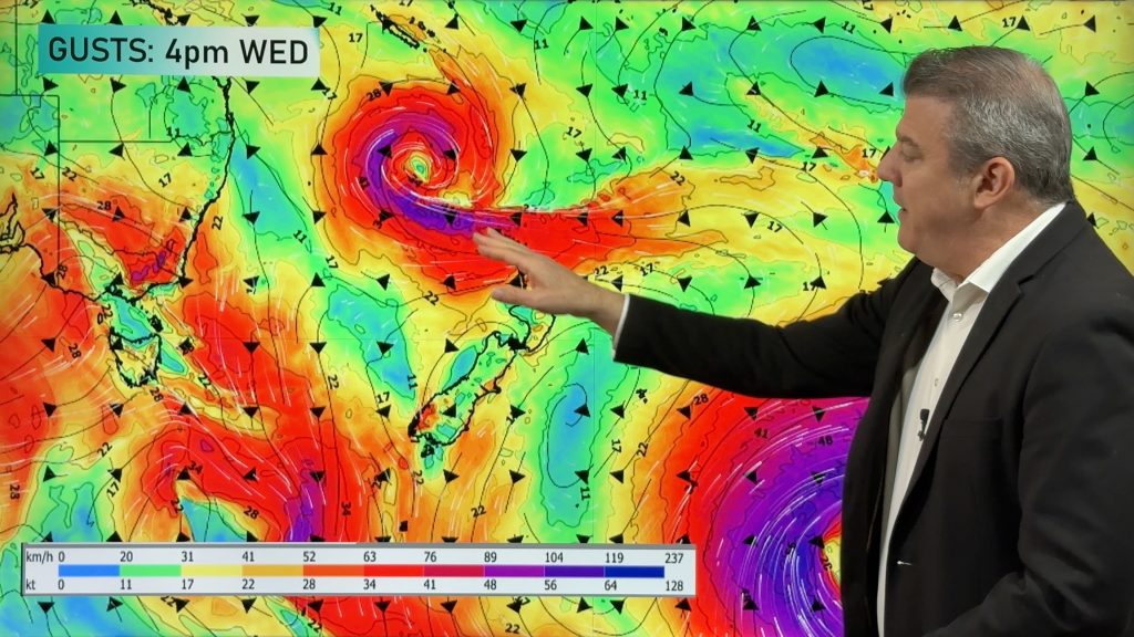
Low pressure will dominate a lot of NZ’s weather this week and long weekend, but there is high pressure in the mix too – making for a bit of a messy forecast in the 7 days ahead.
This working week the main focus is low pressure in the Southern Ocean. This stormy weather will produce gale westerlies in the NZ area and heavy West Coast rain – followed by a colder change around Wednesday and Thursday. It’s this southerly flow later in the week that might then spin off a new low pressure zone in the upper North Island. It’s a slightly unusual system as this new low might produce some gales and eastern rain for the North Island – but other areas may be sunny and totally dry despite being near to the low (thanks to our mountains and ranges blocking things).
The South Island has an unsettled end to the week but high pressure looks to expand over the island for the Easter Weekend. In fact the South Island’s interior may be stunning with colder nights and sunny afternoons and not much wind.
Most places look dry on Easter Monday – although a few showers might still linger in the eastern North Island.
Due to the complicated and large nature of the low pressure zones this week we encourage people to check back with our daily week-day weather videos, as some changes are bound to happen. Also, our local forecasts across NZ at WeatherWatch.co.nz and in our new Alerting App are updated each and every hour – so use that on top of our videos here to make more sense of what is coming in locally for you.
Comments
Before you add a new comment, take note this story was published on 24 Mar 2024.


Add new comment