VIDEO: NZ’s downpours continue, Cyclone Ilsa forms in Western Australia
12/04/2023 12:26am

> From the WeatherWatch archives
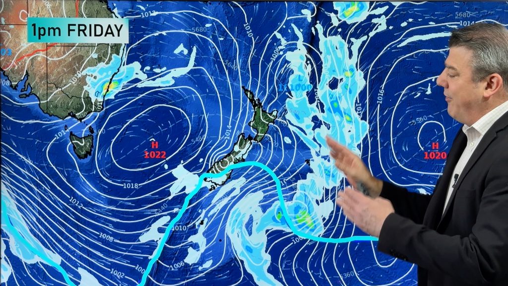
New Zealand has more downpours and isolated thunderstorms on Wednesday and potentially the next couple days ahead before an almost week-long northerly quarter airflow moves in, starting this weekend.
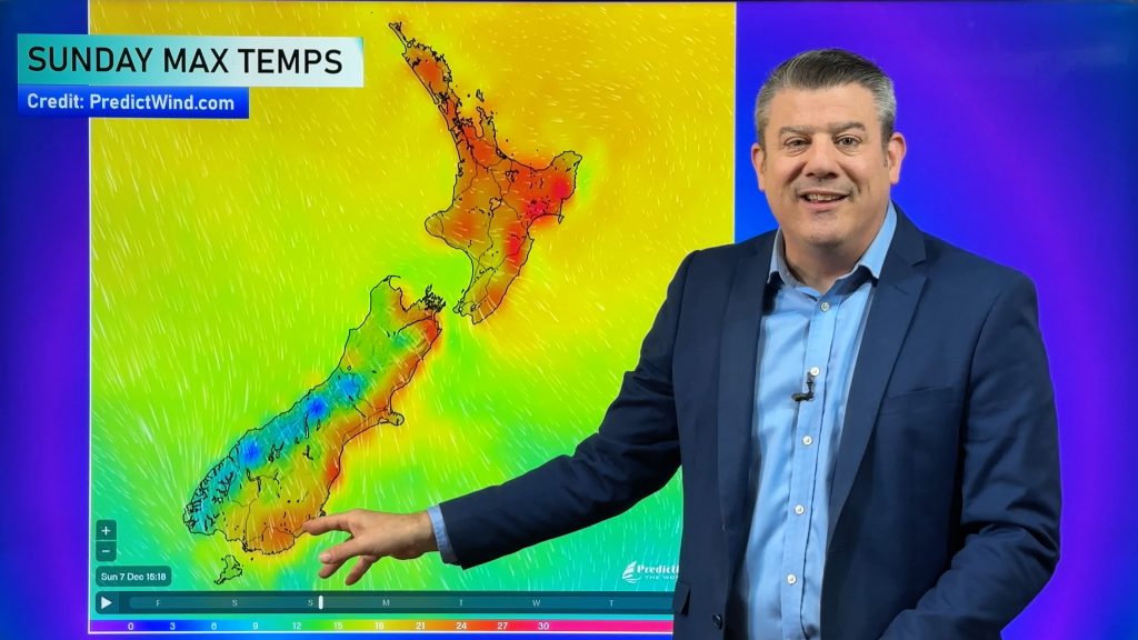
This weekend or next week places in the South Island that would normally be frosty by mid-April (like Alexandra) have daytime highs in the early 20s and overnight lows in the double digits thanks to the northerly flow.
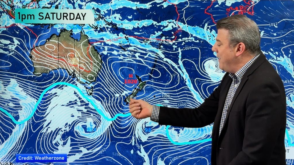
In Australia Tropical Cyclone Ilsa has formed is expected to make landfall on Thursday PM north east of Pord Hedland.
The severe cyclone will then churn across the desert, falling apart before Alice Springs and likely reaching Queensland next week as just a few showers. The south east corner of Australia is especially Autumnal with windy, wet and colder changes in the mix.
Finally – next week north of NZ the tropics will be getting more interesting. No sign of any tropical cyclones yet, but low pressure may deepen enough around the Coral Sea to monitor closely.
Comments
Before you add a new comment, take note this story was published on 12 Apr 2023.


Add new comment