VIDEO: NZ – More cold fronts but high pressure too as spring weakens
16/11/2023 12:15am

> From the WeatherWatch archives
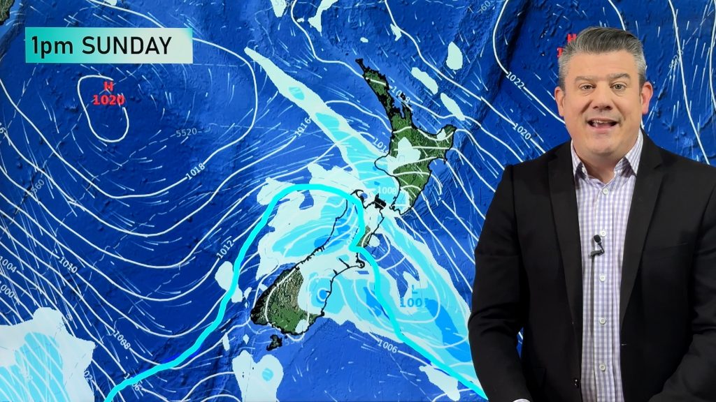
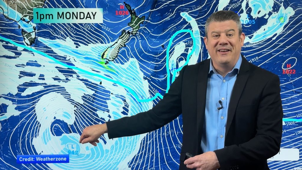
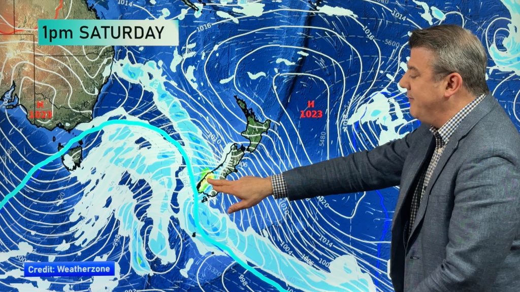
There are more hints of summer coming in as the daytime temperatures around NZ continue to lift (generally speaking) and some regions are now showing signs of drying out – across both main islands.
As we go through this weekend a northern area of low pressure will move through, then is followed by high pressure. The next week ahead isn’t so windy – and in fact from later this weekend and for the start of next week both islands will have afternoon downpours, some with thunderstorms.
There is another cold front next week in the south – but it’s weaker than previous ones. Still, it will bring another burst of showers and cooler air to the South Island.
Comments
Before you add a new comment, take note this story was published on 16 Nov 2023.


Add new comment