VIDEO: NZ – Late 20s & 30 degrees possible, but more cold fronts
14/12/2023 12:47am

> From the WeatherWatch archives
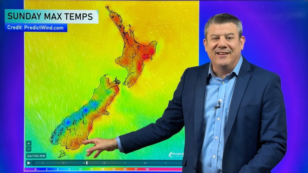
It’s possible eastern NZ will reach 30 degrees this weekend – certainly the mid to late 20s are likely as nor’westers crank up from both Australia and the sub-tropics.
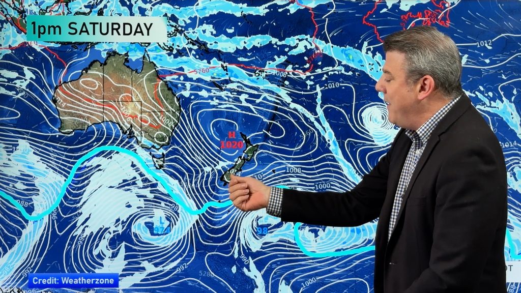
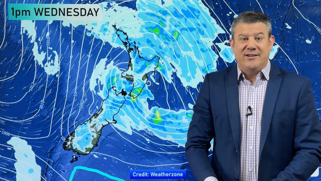
The milder airflows are mixed in with cold fronts from the south though, bringing a truly spring-like weather pattern to the South Island and lower North Island. For northern NZ it will be more settled thanks to high pressure nearby – but may still be a bit cloudy and windy around Auckland. Heavy rain is expected on the West Coast but minimal spillover into other regions – although the lower western North Island (Kapiti to Horowhenua) and Mt Taranaki will likely get some rain.
A few showers may also affect the upper South Island for a time.
Programming Notes:
- We have NO VIDEO on Friday – this is your weekend update. We’ll be back again on Monday with our final ’normal’ week of videos before Christmas.
- After Christmas we’ll be on holiday with limited video updates but are looking to fill the space to some degree.
Comments
Before you add a new comment, take note this story was published on 14 Dec 2023.


Add new comment
Terry on 13/12/2023 11:51pm
Beautiful pic of a horse on today’s image map🤣
Reply
WW Forecast Team on 14/12/2023 12:03am
Haha, had no idea what you were talking about, then took a quick look at our YouTube channel and the thumbnail showed it immediately!! 🙂
Phil D
Reply