VIDEO: Milder in NZ this weekend but OZ cold change on the way
8/09/2022 11:59pm

> From the WeatherWatch archives
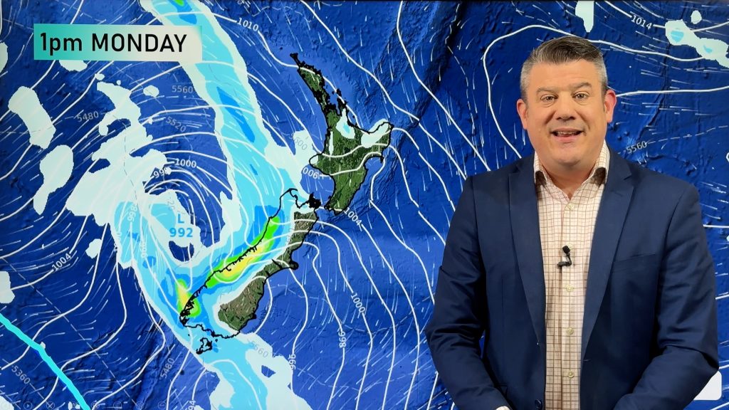
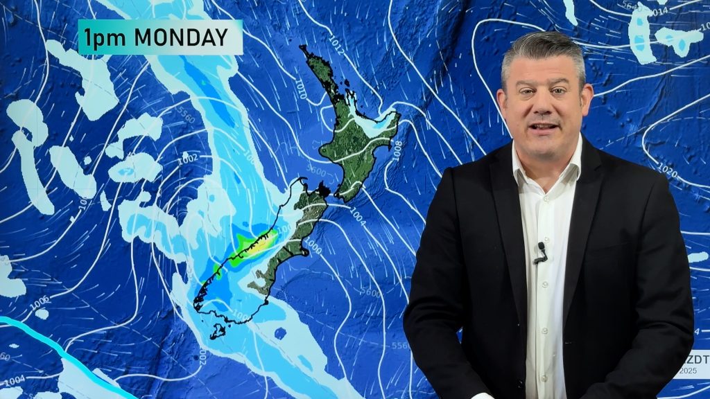
Northerlies will develop this weekend in NZ bringing a mild Sunday, while a wintry change in Australia’s south east will head our way by the start of the new week.
Tuesday and Wednesday once again look cold across NZ with snow flurries (light ones) possible in Northern Southland to perhaps only 100 metres, while snow flurries will again fall as far north as Mt Ruapehu and even the Desert Road. But snow totals don’t look huge due to incoming high pressure behind it.
In Australia it’s settled for a large portion of the continent but by a wintry change kicks in this weekend for TAS and VIC in particular – and brushes ACT and some parts of NSW.
Comments
Before you add a new comment, take note this story was published on 8 Sep 2022.


Add new comment
nathan on 10/09/2022 7:58pm
is there a snow wareing in wellington
Reply
WW Forecast Team on 10/09/2022 10:21pm
No there isn’t. See any warnings and watches here: https://www.weatherwatch.co.nz/maps-radars/warnings/metservice
– WW
Reply
Gillian Smith on 9/09/2022 11:01am
What does the wiggly red line on the top of the weather map indicate.
Reply
WW Forecast Team on 9/09/2022 2:12pm
Hi Gillian
That is a thickness line. You can read more about them here http://www.theweatherprediction.com/habyhints/148/
But in a more simpler way it often means warmer more tropical air is north of that line.
WW
Reply