> From the WeatherWatch archives
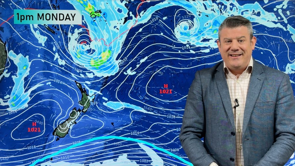
Winter 2017 has kicked off on a calm note with fog and low cloud around parts of the country. Thursday will be a calm day for much of the country.
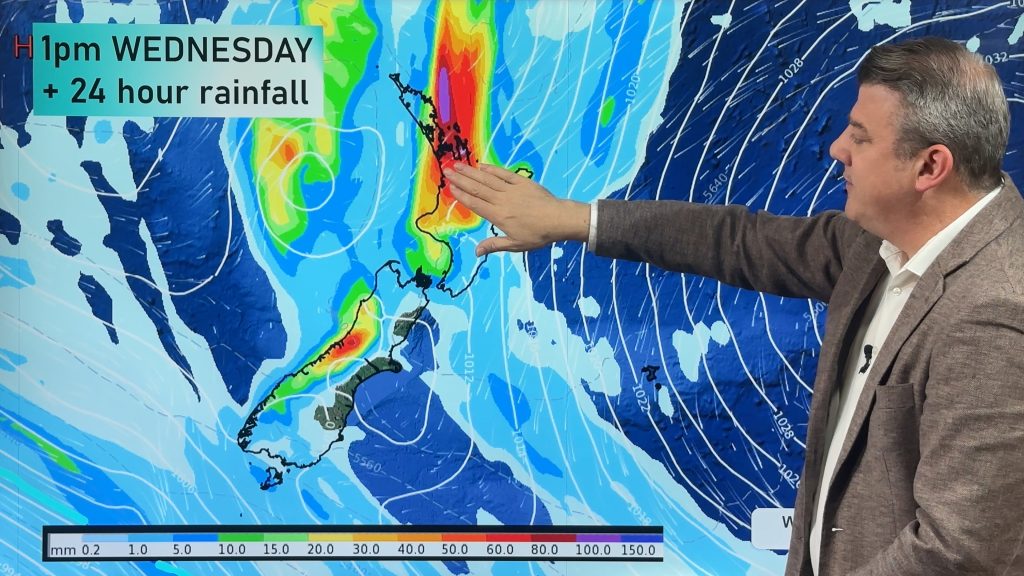
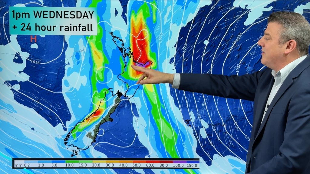
By Friday a low in the Tasman Sea will be deepening and tracking towards northern New Zealand. It will basically ‘leap frog’ around the upper North Island bringing a period of rain as it does so, but generally speaking most parts of the country won’t be affected by this rain maker, just the top third of the North Island and the eastern side.
On Saturday a weak front will reach Southland and fall apart over Sunday as the North Island low departs. This will allow for a colder southerly flow to spread across New Zealand on Sunday and Monday bringing mainly dry weather but much lower temperatures and a chance of a few isolated coastal showers.
We’ll fine tune your Queens’s Birthday forecast even further in our next video update out on Friday morning.
Comments
Before you add a new comment, take note this story was published on 1 Jun 2017.


Add new comment