VIDEO: Low pressure for NZ on Monday, but it’s not all doom & gloom
30/05/2023 11:24pm

> From the WeatherWatch archives
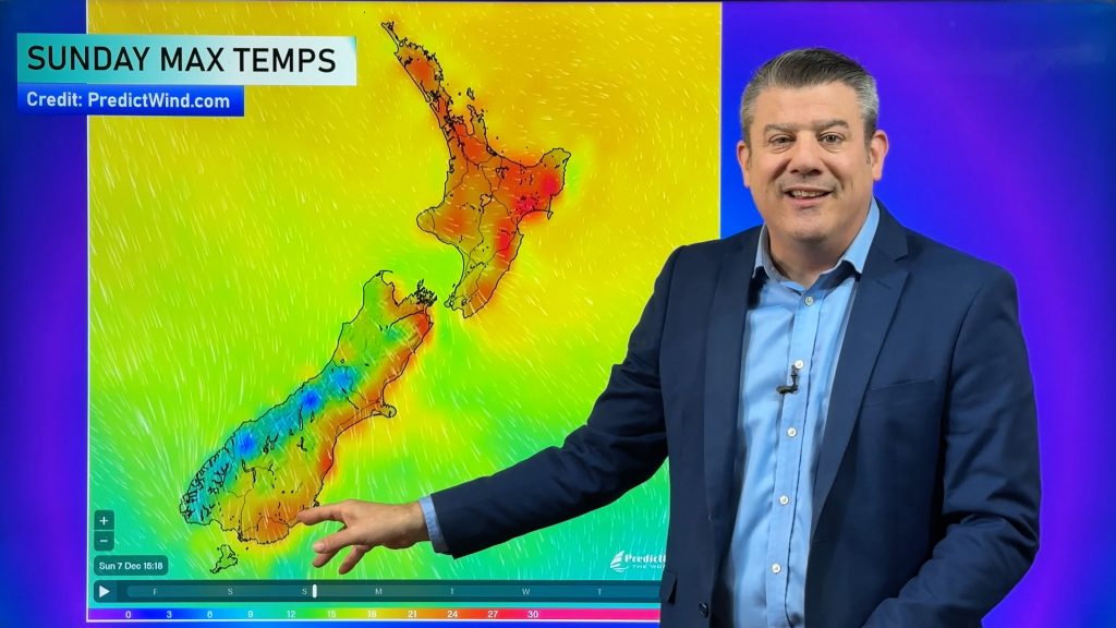
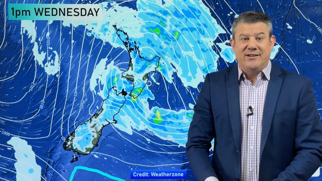
Windy westerlies will dominate NZ over the coming days, turning colder for the lower South Island this weekend ahead of a large low pressure zone on King’s Birthday Monday that looks likely to engulf most of the country.
The Monday low pressure zone is likely to bring cold air into the South Island, downpours into the North Island and snow for the southern ranges.
Windy weather may also be an issue on Sunday and Monday around parts of NZ, mostly the southern half.
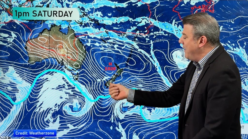
Australia’s weather pattern – which is very much connected to ours at the moment – continues to push big high pressure zones out into the Tasman Sea (classic El Nino set up actually) as weaker lows brush the southern coastline from Perth to Adelaide to Melbourne and Hobart.
We have your forecast to Tuesday…
Comments
Before you add a new comment, take note this story was published on 30 May 2023.


Add new comment
janet on 31/05/2023 12:20am
was nice to see the rain mentioned please may we have it everyday ?areas of nz an the gauge that you show thankyou an have good day
Reply
WW Forecast Team on 31/05/2023 12:23am
Hi Janet – Thanks for the feedback. You can also find very similar rainfall maps to the ones we have in our videos on our website here: https://www.weatherwatch.co.nz/maps-radars/rain/accumulative-rainfall. They are updated twice a day.
Kind regards
Phil D
Reply