> From the WeatherWatch archives
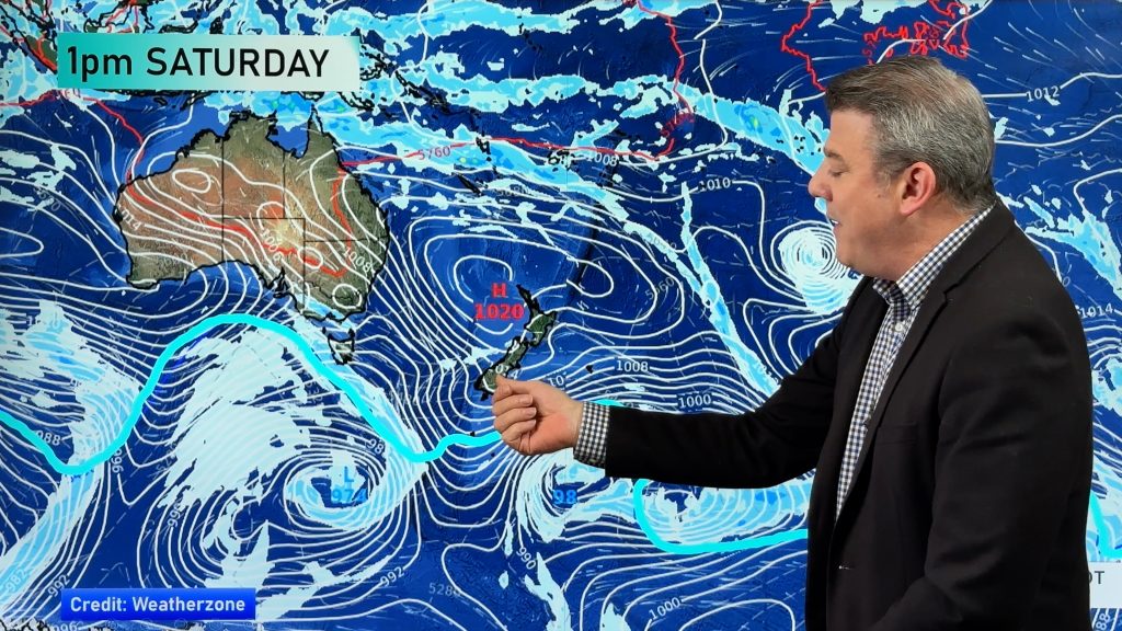
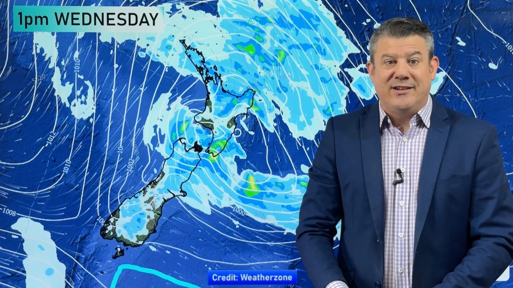
A powerful high is rolling in across NZ now and will linger until Monday – but then a cold front moves north and a low is likely to deepen over or near NZ bringing a burst of wind and rain, then colder sou’westers.
Next week’s change is a typical spring one and will bring a reset to the daytime temperatures will be remain above average for the rest of this week and warm up even further on Sunday and Monday in many regions.
By the end of next week another big high is coming – likely bringing a mild note to the end of September and very start of October.
Comments
Before you add a new comment, take note this story was published on 18 Sep 2019.


Add new comment