VIDEO: High pressure to cross NZ, but a westerly change behind it
8/05/2024 11:59pm

> From the WeatherWatch archives
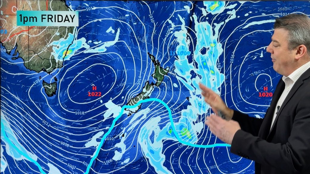
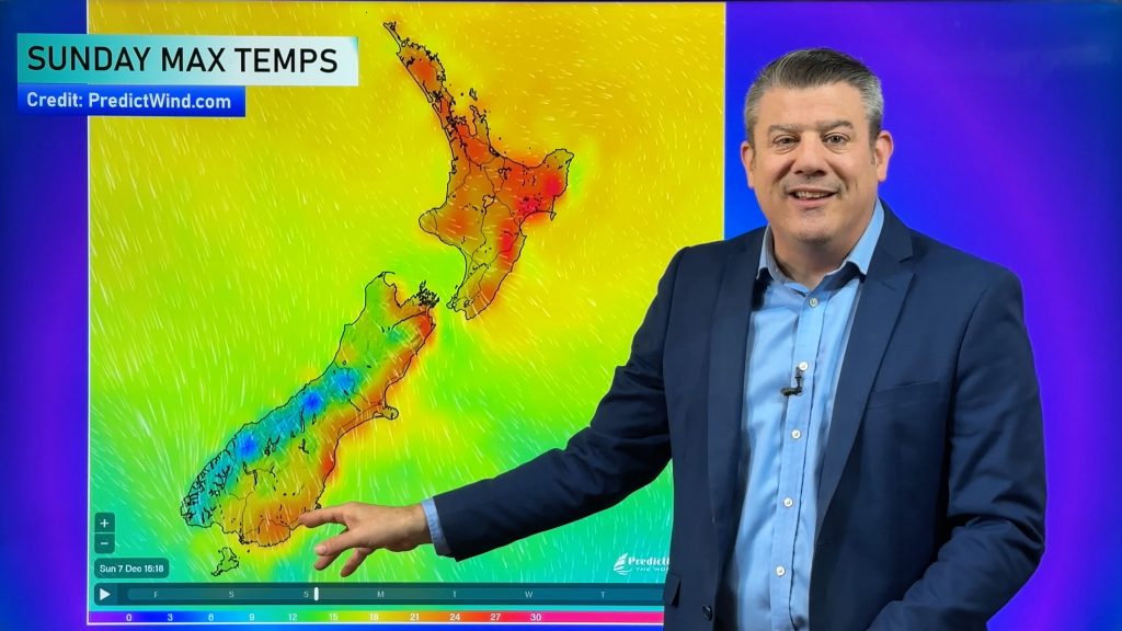
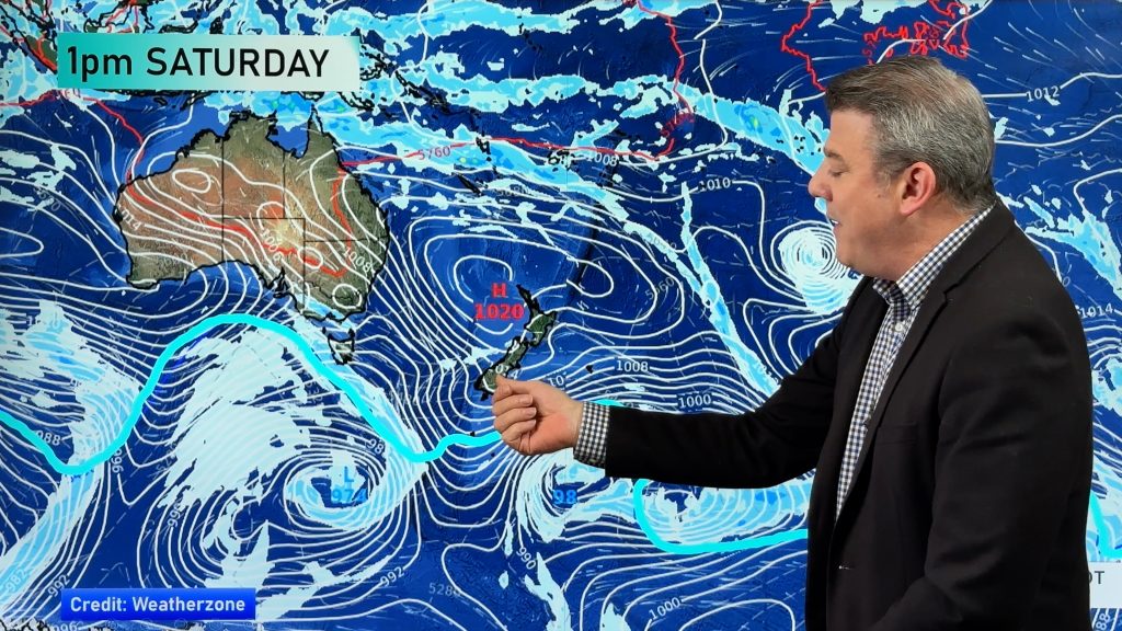
Colder air takes us into the weekend but next week milder sub-tropical winds and westerlies are likely as high pressure finally departs the NZ area for a time. This high pressure zone near Tasmania has been impacting our weather for two weeks and in total will be closer to three weeks.
So what happens behind it? At this stage windy westerlies kick in for the South Island next week with western rain. Meanwhile sub-tropical winds and possibly some northern wet weather (not yet locked in) is possible.
We take a closer look at what is coming in this weekend and what is moving through next week.
Comments
Before you add a new comment, take note this story was published on 8 May 2024.


Add new comment
Joe on 9/05/2024 3:06am
Hi Phil from Christchurch. I love the way you explain how the weather works! I’ve noticed that in recent years that generally, winds from the southerly quarter have been milder those in the past. Climate change I suspect. Interesting though, that this southerly we’ve just had has been particularly cold, yet its origin is only 50 south or so, as opposed to near Antarctica. Any thoughts on why this would be? Is the Southern ocean particularly cold at the moment? Thanks, Joe:)
Reply
WW Forecast Team on 9/05/2024 3:30am
Hi Joe, thanks for the kind feedback 🙂
As you’ve noticed, the southerlies aren’t really “true” ones, in the sense that they aren’t Antarctic or from the pole. The large and stubborn high pressure zone south of Australia has been encouraging a lot of west to south-west winds into NZ, often lately our ‘southerlies’ have been coming out of Tasmania area. So not super chilled. These highs are like eggs or rugby balls in shape, and they usually lie west to east. However, when they are shaped “tall” from north to south (like a rugby ball on the ground before you kick it) it can have much bigger ‘reach’ over the Southern Ocean and if there’s low pressure near Dunedin offshore to the South east those two systems can dredge up icy air from off the ice shelf. The last time NZ had that in a major way was August 2011 when it snowed in some parts of Auckland City, the Bombay Hills, Pukekohe and even on the hills of Northland going into the Far North. So two things are likely at play: 1) the shape of the current highs being west to east (rugby ball on its side) and 2) the warming of the planet is adding a degree or two to what we thought was a normal average 30 years ago.
Cheers
Phil D
Reply