VIDEO: High pressure returns – but severe weather may be possible next week
11/05/2023 3:35am

> From the WeatherWatch archives
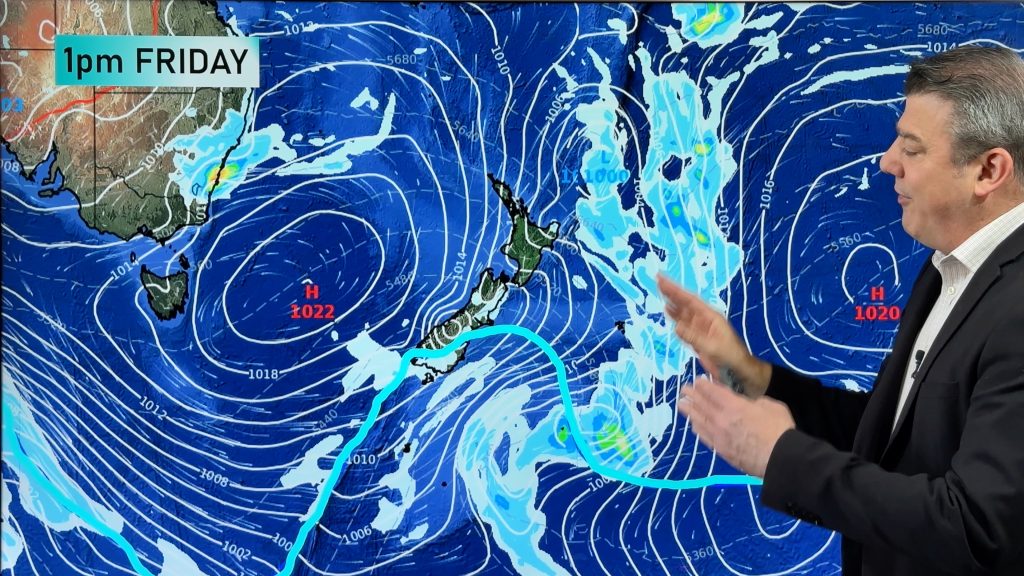
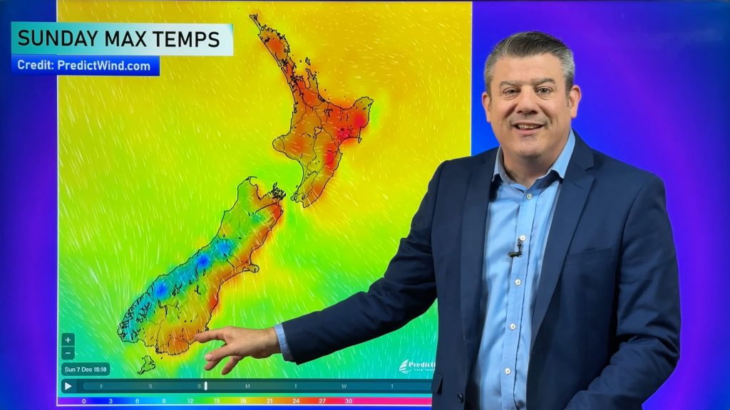
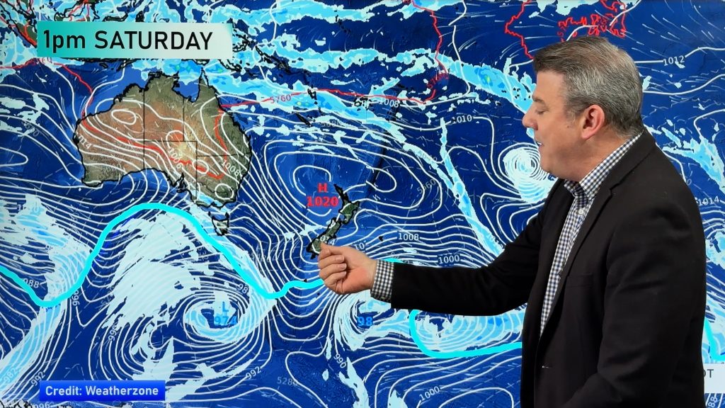
NZ is in the peak of the cold southerly today as it fades from Australia – and a high pressure zone from Aussie is moving in our way for Friday and the weekend. However there will still be some lingering showers this weekend and into the start of next week, despite the high pressure zone moving in.
Australia’s weather is calmer but a weak cold front does affect the south to south east today and again earlier next week. Tonight is colder than average across much of NZ and Australia (except most of QLD, which returns to normal).
Later next week a low in the Tasman Sea may deepen into a wind and rain event bringing the chance of severe weather to NZ. It’s not yet locked in but has been showing up in public weather charts for the past few days so thought it was time to mention it.
*Apologies for the delay publishing the video today – we had technical issues which also caused the video brightness to be too high at times. Should be back to normal on Friday! Cheers, WW team.
Comments
Before you add a new comment, take note this story was published on 11 May 2023.


Add new comment
Art on 11/05/2023 9:58am
Is it Movember already?
Reply
WW Forecast Team on 11/05/2023 10:44pm
No!! Haha 🙂
– Phil D
Reply