VIDEO: High pressure on the way after an unsettled Monday
28/04/2019 10:54pm

> From the WeatherWatch archives
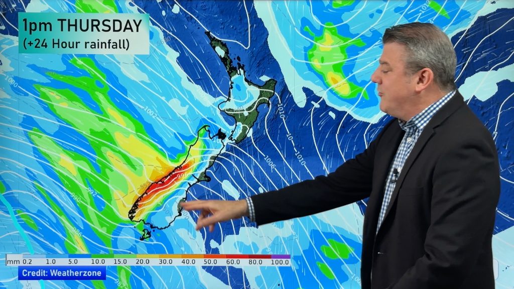
This week kicks off windy and wet with a wintry change moving up the South Island bringing heavy snow to the mountains and ranges.
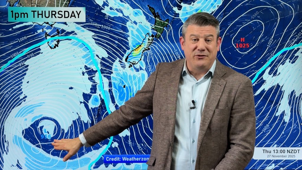
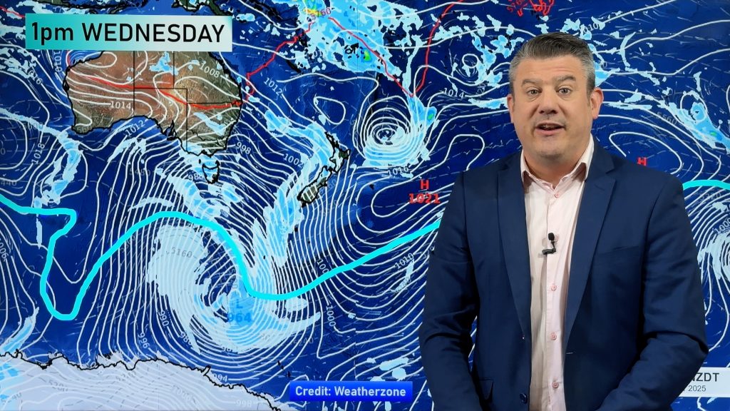
It kicks off a cooler week more dominated by southerlies and high pressure with the large high rolling in quickly on Tuesday and lingering right through until the weekend.
There will be plenty of sunny, dry, and calm weather once we get through Monday.
This weekend high pressure still looks likely to dominate but it gets a little more complicated as we head in to next week with high pressure weakening but nothing substantial currently on the radar.
Comments
Before you add a new comment, take note this story was published on 28 Apr 2019.


Add new comment
Guest on 29/04/2019 2:08am
those south island fronts don’t have any rain left much for some northern areas you need a front in the central tasman just heading straight in
Reply
Guest on 29/04/2019 2:03am
well it seems like its 4th below average month in a row and 6 out of the last eight out katikati way not east of Tauranga they seem to off dodged a bullet with that rain a few days ago….what comes a round goes a round
Reply