Video: High & dry weather to dominate much of NZ this week, meanwhile tropics still active
24/02/2019 10:19pm

> From the WeatherWatch archives
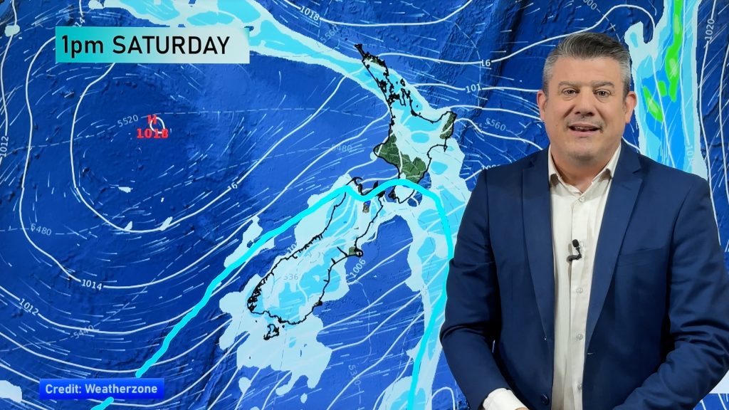
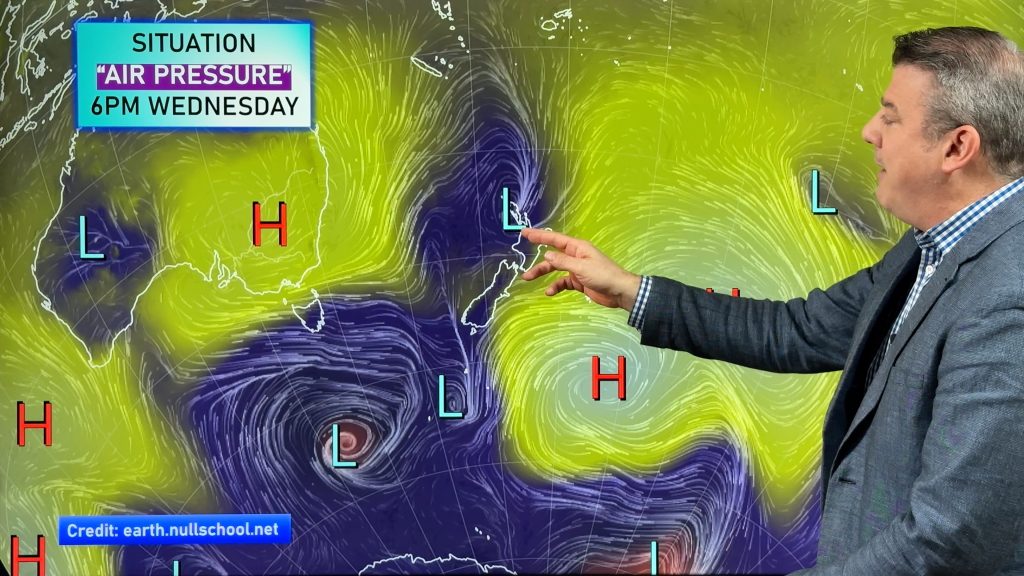
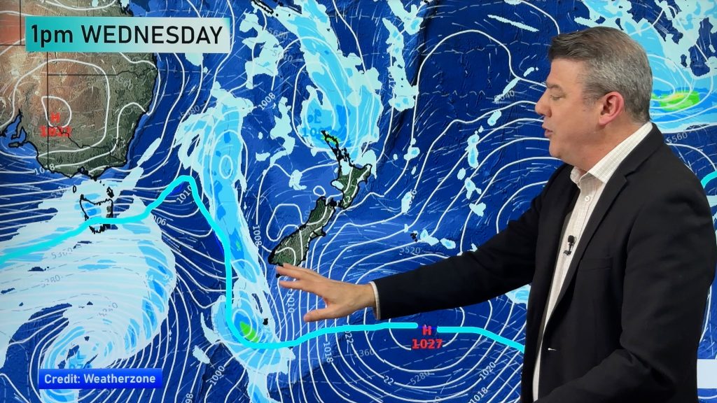
High pressure is rolling in to New Zealand this week, the same high that helped tear apart Cyclone Oma at the weekend.
The high brings a colder than normal Monday and Monday night but by Tuesday the warmer westerlies are already kicking back in to the South Island with above normal daytime highs.
Another tropical storm is also forming, this time well out to NZ’s north east. It will come close to the country later this week to our east and may drive in bigger swells, dangerous rips in eastern beaches of the North Island and maybe a touch of high cloud, otherwise high pressure in the NZ area looks likely to dominate.
The high over NZ means areas that are dry and missed out on soaking weekend rain may have much drier conditions still to come.
Comments
Before you add a new comment, take note this story was published on 24 Feb 2019.


Add new comment