VIDEO: Detailed update on low moving into NZ + Pacific Islands update
9/04/2024 12:17am

> From the WeatherWatch archives
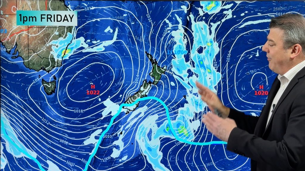
Westland is in for a deluge, so too possibly the surrounding areas including Nelson and Takaka. But for many other places the incoming wet weather will be welcome after a very dry start to 2024.
Sub-tropical or mild northerlies will continue to blow through – becoming windiest on Thursday.
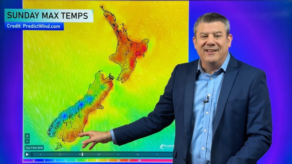
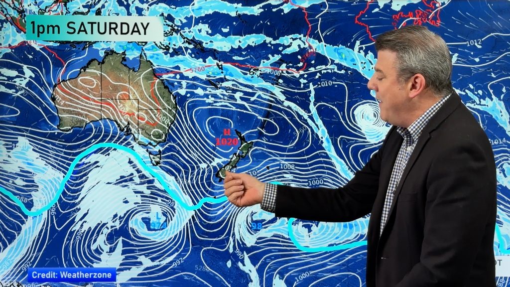
By Friday the low moves into the West Coast and falls apart – with a west to south west change for NZ on Saturday, then high pressure on Sunday.
We break down the rain for Westland in as much detail as we can – and show a rainfall map for NZ through until this Sunday.
Keep up to date with MetService official warnings and watches.
Finally, the last part of the video (as we do every Tuesday now) is dedicated to the South Pacific islands – a quick animation of the next 7 days ahead and a 7 day rainfall animation to make sense of all those messy daily showers.
Comments
Before you add a new comment, take note this story was published on 9 Apr 2024.


Add new comment