VIDEO: Cooler change coming after warm, wet Thursday in the north
3/07/2019 10:49pm

> From the WeatherWatch archives
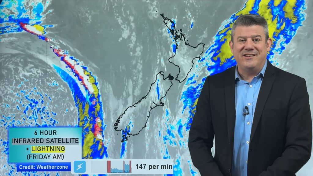
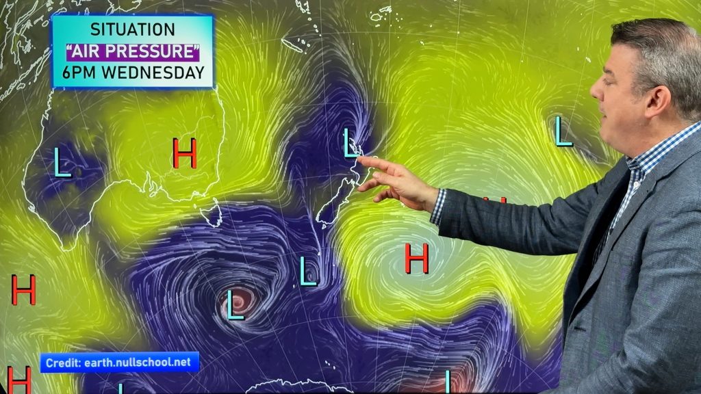
NZ is stuck between two big highs and as a result we have a band of rain with heavy falls slowly crossing over the North Island today.
Behind it is a cooler southerly which will drop temperatures across Friday and Saturday.
However by Sunday – and going into next week – it looks as though westerlies will be dominating and that wind flow is slightly warmer usually.
– WeatherWatch.co.nz
Comments
Before you add a new comment, take note this story was published on 3 Jul 2019.


Add new comment
Jason on 4/07/2019 12:19am
Any chance for snow in the next few weeks for the various skifields?
I’m especially interested in Queenstown / Wanaka region (with school holidays approaching) – but I assume others will be interested in other areas too!
Jason
Reply
WW Forecast Team on 4/07/2019 12:58am
Hi Jason, thanks for the question on Southern Skifields and sadly there isn’t a lot coming. There may be a few flurries today and then again briefly mid next week but it’s either too dry for snow, or too mild. Some chances for making snow though with sub-zero overnight lows for the most part.
Cheers
Phil D
Reply
Derek on 3/07/2019 11:45pm
Thanks Phil, Great update as usual, missed you last three days so good to see you back.
Reply
WW Forecast Team on 4/07/2019 12:59am
Cheers Derek, I appreciate that. I missed being away – but good to be back! 🙂
Phil
Reply