VIDEO: ClimateWatch: MAY-be it will, MAY-be it won’t. Here’s what “neutral” likely means for you
3/05/2025 1:58am

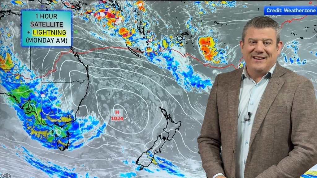
Covering New Zealand, Australia and the south-west Pacific we track the high and low air pressure over the weeks ahead, where the rain will go and how temperatures may feel. With NEUTRAL conditions remaining (ie, no El Nino or La Nina, and no positive or negative IOD) we don’t see anything significant changing the pattern we’ve had for the past few months.
However in the Tasman Sea/New Zealand area (and between NZ and the South Pacific tropical islands) we do see more lows and rain in between each high pressure system – this has helped end the NZ droughts and bring relief across both main islands – with more rain relief coming, mixed in with some solid dry spells too.
But the highs over the southern half of Australia remain more constant – meaning droughts there aren’t going to be getting any relief just yet. The silver lining is that usually winter sends more storms in from the south – but for some that may be too late to help.
We have the big picture forecast for the month of May.


Add new comment