> From the WeatherWatch archives
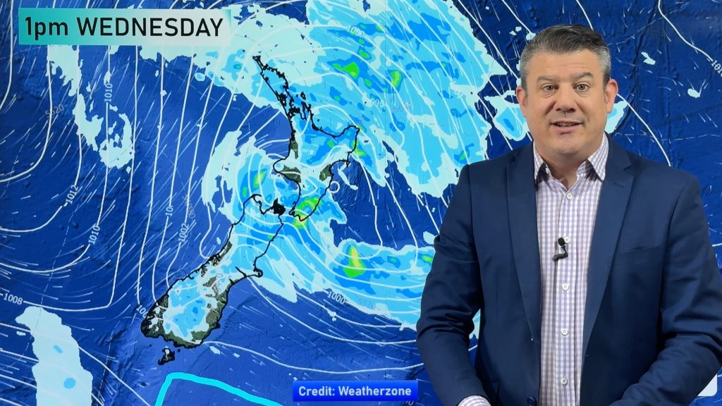
As the polar change moves across the country rain is falling as snow at higher elevations. While snow is heavy it is higher up and out of most main centres, but centres in Southland, Otago and Canterbury above 300 metres may get a dusting today or tonight.
In the high country snow levels will be heavier and may be more problematic for a time – but the good news is that those getting heavy snow should see conditions ease fairly quickly across Sunday as wind flows change and air flows dry out further.
WeatherWatch.co.nz says while heavy snow is a serious factor at higher elevations for some communities, the heaviest of the snow will be in more alpine regions. Compared to other polar events WeatherWatch.co.nz would rate the snow portion of this event as a lower end one, even with the heavy totals higher up. If you’re in a risk area, please keep up to date with any MetService snow fall warnings.
The snow will be welcome by ski fields in both islands, but motorists around Central Plateau and above 300 to 400m over the Southern Alps and lower South Island may find snow causes some delays or even road closures for a time over the next 12 to 18 hours.


– WeatherWatch.co.nz
Comments
Before you add a new comment, take note this story was published on 31 May 2019.


Add new comment