Tuesday’s News: Temperatures warming up, Frosts and Fog, Heavy rain for Fiordland on Friday.
28/08/2023 7:00pm

> From the WeatherWatch archives
Here’s what is making the weather headlines today….
TEMPERATURES WARMING UP
A bit cool yesterday, today we warm up a touch. Wednesday and Thursday are a bit warmer yet again.
Enjoy the next few days ahead.
FROSTS AND FOG
A few mist and fog patches to deal with over the next couple of mornings, more so for the North Island but a few South Island spots may get a small patch here and there.
This morning has the highest frost potential but Wednesday and Thursday mornings do too, the risk gradually retacts further inland as we move forward this week.
For more information on frost or fog for your location please visit ruralweather.co.nz , use the search function then click on the “Fog/Cloud” or “Frost” tabs.

Fog map – Tue 29th August 2023 6:00am – ICON Windy.com 
Fog map – Wed 30th August 2023 6:00am – ICON Windy.com 
Fog map – Thu 31st August 2023 6:00am – ICON Windy.com 
Fog map – Fri 1st September 2023 6:00am – ICON Windy.com
HEAVY RAIN FOR FIORDLAND ON FRIDAY
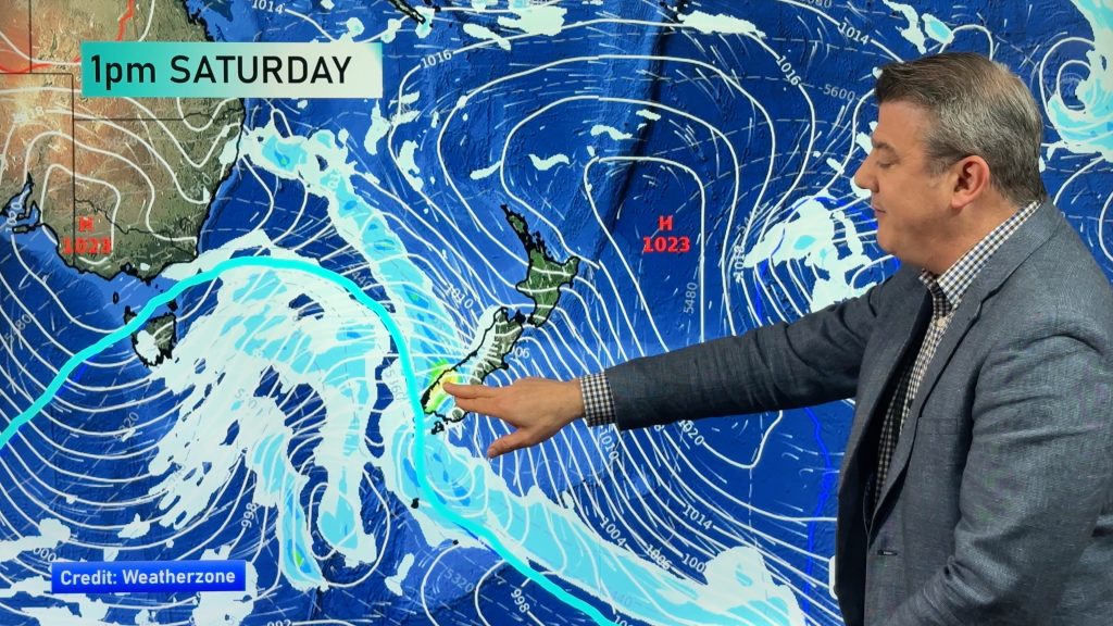
A front moves onto the lower South Island Friday morning bringing heavy rain to Fiordland, rain moves into Southland late afternoon then perhaps Otago later in the evening or overnight.

Comments
Before you add a new comment, take note this story was published on 28 Aug 2023.


Add new comment