Tuesday’s national forecast – High moving in
2/10/2023 11:29am

> From the WeatherWatch archives
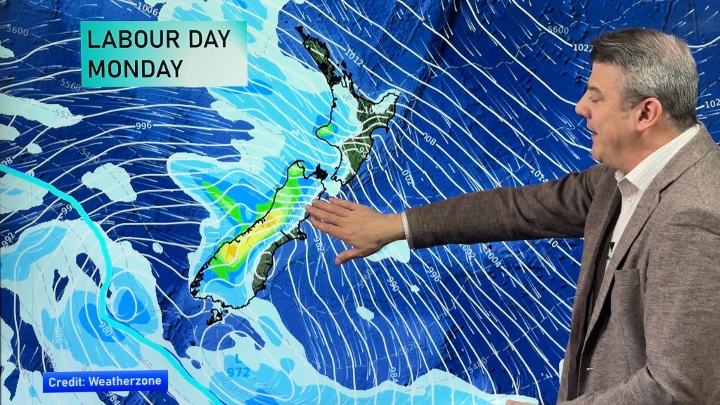
High pressure moves in from the Tasman Sea today with the weather calming down, showers in the east (especially in the eastern North Island) will ease and eventually clear.
Northland, Auckland, Waikato & Bay Of Plenty
A few morning clouds then sunny with southwesterlies tending to the south in the afternoon.
Highs: 15 – 17
Western North Island (including Central North Island)
Showers ease clearing by midday, snow flurries to 600m about the Central Plateau. Sun increases from afternoon with southerlies dying out in the evening. Frosty overnight.
Highs: 8 – 14
Eastern North Island
Cloudy periods and the odd shower, clearing in the afternoon for Wairarapa then further north in the evening. Fresh southwesterlies die out later in the day.
Highs: 11 – 15
Wellington
The odd shower, clearing around midday then sunny spells increase, strong to gale southerlies ease dying out in the evening.
Highs: 10 – 11
Marlborough & Nelson
Any early showers clear then becoming mostly sunny, southerlies die out in the morning for Nelson, evening for Marlborough. Light northerlies in the afternoon for Nelson
Highs: 13 – 15
Canterbury
Sunny inland with morning frosts, coastal showers clear before midday then becoming mostly sunny with fresh southwesterlies dying out in the afternoon before tending northeast.
Highs: 12 – 15
West Coast
Sunny with light southeasterlies tending northerly around midday.
Highs: 14 – 18
Southland & Otago
Sunny after a frosty start, high cloud later in the day. Light northerlies. Early cloud clears coastal areas then sunny with southwesterlies dying out, northeasterlies for coastal Otago in the afternoon, freshening up.
Highs: 12 – 17
Comments
Before you add a new comment, take note this story was published on 2 Oct 2023.


Add new comment