Tuesday’s national forecast – Front stuck lower North Island (+10 maps)
6/12/2021 3:00pm

> From the WeatherWatch archives
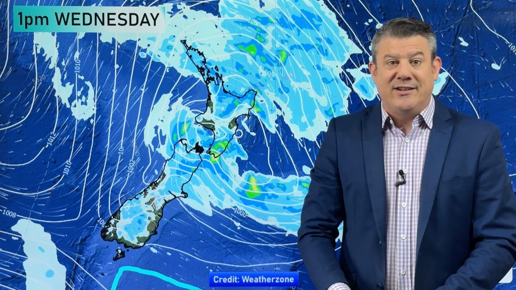
A stationary front is stuck over the lower North Island today bringing some rain, showers for other regions either side of the front with southerly winds for the South Island, northerlies further north.
Please refer to your local, hourly, 10 day forecast for more details.
Northland, Auckland, Waikato & Bay Of Plenty
Humid with cloudy areas, a shower or two. North to northeasterly winds.
Highs: 22-26
Western North Island (including Central North Island)
Mostly cloudy and humid. Showers, chance of a heavy fall mainly afternoon. Rain south of Palmerston North with heavy falls. Northerlies.
Highs: 19-21
Eastern North Island
Mostly cloudy and humid, south of Napier expect occasional showers, southern Wairarapa has rain. Gisborne is mainly dry with some high cloud. North to northeasterly winds.
Highs: 21-25
Wellington
Rain, easing late afternoon or evening. Southeasterly winds die out later in the day.
Highs: 16-20
Marlborough & Nelson
Some rain, easing from afternoon, perhaps clearing later in the day. Southeasterly winds, tending northerly in the afternoon for Nelson.
Highs: 17-19
Canterbury
Mostly cloudy, the odd shower or drizzle patch mainly about the coast. Cloud and an showers or drizzle starts to clear in the evening. Light easterlies.
Highs: 14-18
West Coast
Morning cloud breaks to sunny spells, Buller is a bit cloudier with a spit or shower possible. Fiordland has a mostly sunny day. Light winds.
Highs: 18-21
Southland & Otago
Mostly sunny, morning cloud for Central Otago breaks away. Coastal Otago has some drizzle, clearing in the afternoon then some sun breaks through. Light easterly quarter winds for most, breezy east to northeasterly winds for coastal Otago.
Highs: 16-21
WeatherWatch.co.nz is proud to be setting the international standard for forecasting in NZ – powered by IBM


Comments
Before you add a new comment, take note this story was published on 6 Dec 2021.


Add new comment