Tuesday’s national forecast – Front feeds into the North Island
19/09/2022 12:00pm

> From the WeatherWatch archives
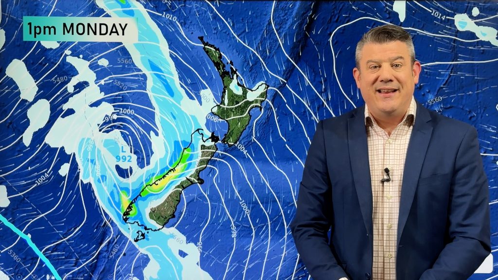
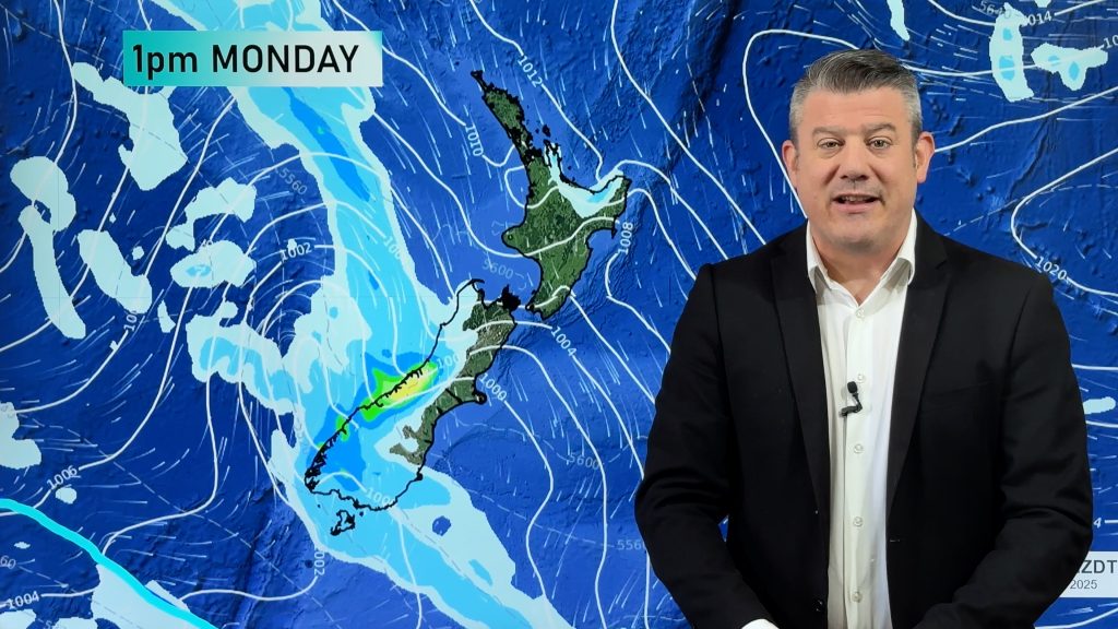
A front feeds into the northeastern side of the North Island today, an area of low pressure for the South Island.
Northland, Auckland, Waikato & Bay Of Plenty
Humid with showers or periods of rain. Heavy rain moves into Northland this afternoon, reaching Great Barrier Island, Coromandel and eventually Bay Of Plenty this evening. Eastern parts of Auckland may see heavy rain too. Northerly winds.
Highs: 16-18
Western North Island (including Central North Island)
Cloudy areas, the odd shower, drying out from mid afternoon but showers may return in the evening, mainly about Taranaki. North to northwesterly winds.
Highs: 15-20
Eastern North Island
High cloud with spots of rain at times north of Napier, northerly winds.
Highs: 19-21
Wellington
Cloudy areas, the odd spit or shower possible mainly in the north then drying out in the afternoon. Breezy north to northwesterly winds.
Highs: 16-18
Marlborough & Nelson
Cloudy areas for Nelson with showers in the afternoon, clearing up in the evening. Marlborough has sun and some high cloud. North to northwesterly winds.
Highs: 15-19
Canterbury
Some high cloud, breaking to sun after midday, light northerlies. Winds change southwest in the afternoon, reaching North Canterbury in the evening. Isolated showers develop south of Banks Peninsula later this afternoon or evening, perhaps a few spits further north.
Highs: 14-20
West Coast
Rain or showers. Northeasterlies ease in the evening.
Highs: 13-15
Southland & Otago
Partly cloudy with showers from late morning, coastal Otago sees showers from late afternoon or evening. Perhaps the chance of an isolated heavy fall and thunderstorm. Light winds.
Highs: 14-16
Comments
Before you add a new comment, take note this story was published on 19 Sep 2022.


Add new comment