> From the WeatherWatch archives
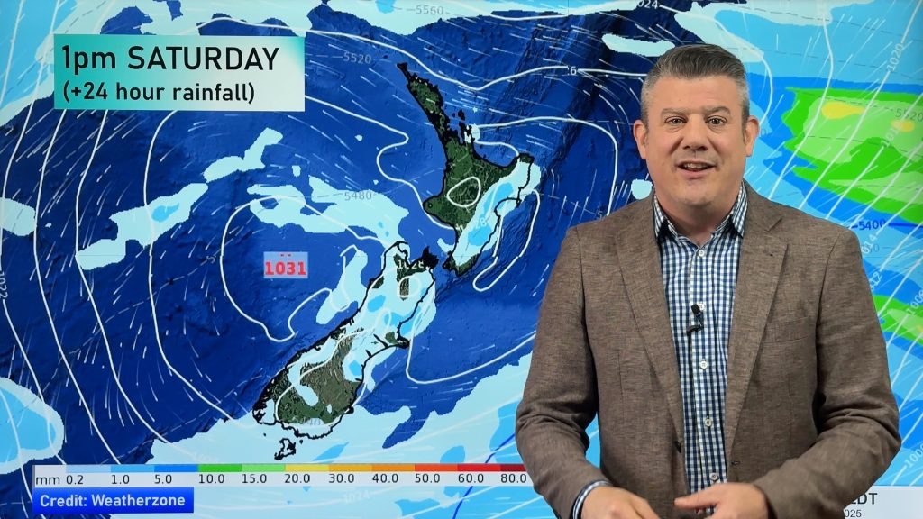
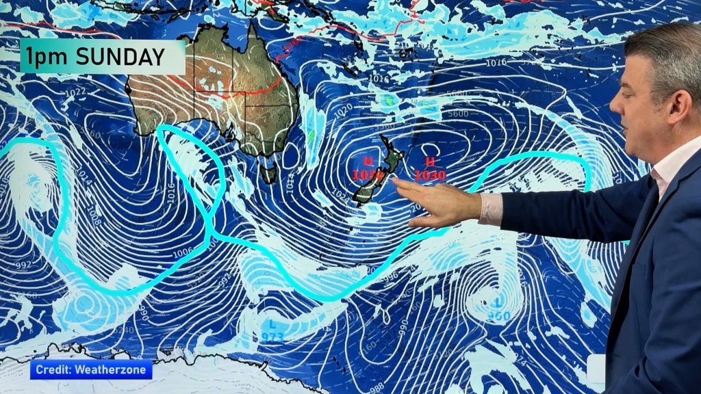
An anticyclone still covers much of New Zealand today, a front does approach the far south of the country bringing a northwesterly airflow over the South Island. High cloud extends out from a low pressure system to the north of the country over the upper North Island.
Northland, Auckland, Waikato, CNI & BOP
Sunny with light winds and some high cloud for most however, expect some cloud about Northland mainly in the east with easterly breezes there. Areas of fog or low cloud possible too especially morning and night.
Highs: 19-20
Eastern North Island
Sunny with light winds, a little high cloud possible in the afternoon mainly about Wairarapa.
Highs: 21-23
Western North Island
Sunny and cloudy periods with northwesterly breezes.
Highs: 18-20
Wellington
Sunny and cloudy periods with northerlies, a little breezy in the afternoon.
High: 17
Marlborough & Nelson
Sunny with a touch of high cloud in the afternoon, light winds.
High: 18-21
Canterbury
Sunny with light winds, some high cloud too. Chance of morning low cloud then clearing.
Highs: 16-18
West Coast
Sunny and cloudy spells with light southwesterlies. The odd drizzle patch about Fiordland with northwesterlies there.
Highs: 14-17
Southland & Otago
Sunny with some increasing high cloud for Otago, thick high cloud for Southland. Light winds about the Otago coast, northwest breezes elsewhere.
Highs: 14-17
WeatherWatch.co.nz
Comments
Before you add a new comment, take note this story was published on 13 May 2013.


Add new comment