> From the WeatherWatch archives
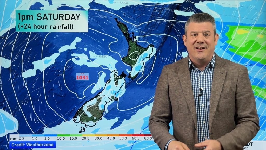
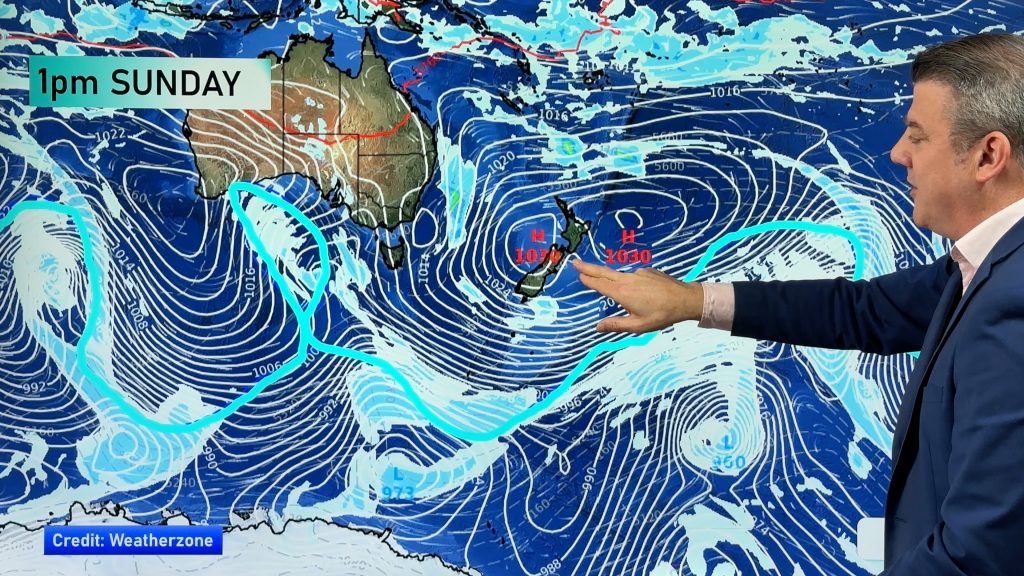
A large high centred just east of New Zealand directs a northeasterly airflow over the country today.
Northland, Auckland, Waikato & Bay Of Plenty
A mix of sun and cloud, some low cloud or fog possible morning and night about inland areas especially the Waikato. There may be a light shower or two about the Coromandel, Great Barrier Island and eastern Northland. Light east to northeasterly winds.
Highs: 17-21
Western North Island (including Central North Island)
Plenty of high cloud with some sun breaking through now and then, some low cloud or fog possible morning and night mainly inland. Light easterly quarter winds.
Highs: 16-19
Eastern North Island
Mostly cloudy, a light shower or drizzle patch possible about Gisborne. Some sun may break through at times mainly afternoon. Light east to northeasterly winds.
Highs: 16-18
Wellington
A mix of sun and cloud, northeasterly winds.
High: 17
Marlborough & Nelson
Morning low cloud breaks but expect plenty of high cloud, some sun may break through at times. North to northeasterly winds.
Highs: 16-18
Canterbury
Mostly cloudy, east to northeasterly winds.
Highs: 14-16
West Coast
Plenty of high cloud, some sun breaks through at times. Areas of fog morning and night about some inland valleys / basins.
Highs: 16-19
Southland & Otago
Plenty of high cloud, there may be some morning low cloud or fog especially inland and about Southland then breaking away. Coastal Otago could see low to mid level cloud linger for much of the day. Light east to northeast winds, winds a little breezier about coastal Otago.
Highs: 15-17
By Weather Analyst Aaron Wilkinson – WeatherWatch.co.nz
Comments
Before you add a new comment, take note this story was published on 6 May 2019.


Add new comment