> From the WeatherWatch archives
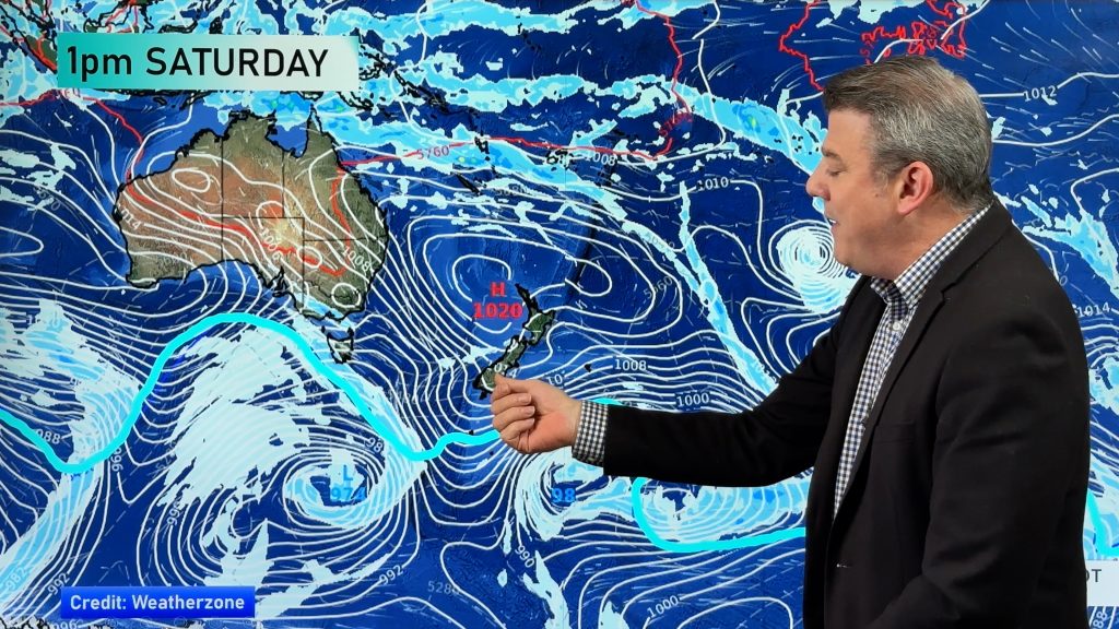
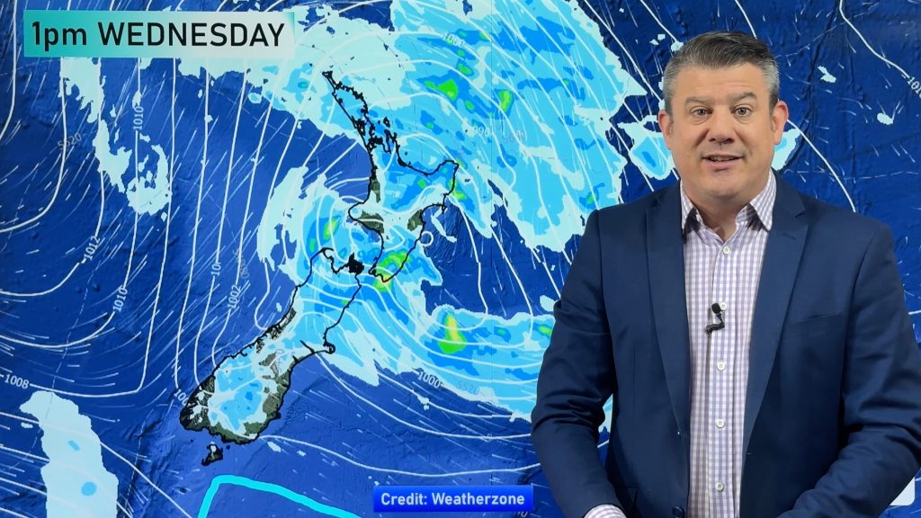
Mostly anticyclonic for the North Island today however a weak area of low pressure stretches over the Island from afternoon coming in from further south. Expect a northwesterly airflow for the South Island.
North Island
Morning cloud for Northland and Auckland, risk of a shower also especially in the west then sunny spells develop, winds from the south. The Waikato sees morning cloud break to sunny areas, west to southwest winds. The Bay Of Plenty across to East Cape has a mix of sun and cloud, isolated showers develop this afternoon especially inland where some may become heavy with thunderstorms then easing later this evening. Light winds tend onshore after midday.
A mix of sun and cloud for the lower North Island today, cloud clearing away from coastal areas this afternoon becoming more restricted to inland hills / ranges. Isolated showers may develop late afternoon / evening about some inland hills and ranges then clearing later on. Winds are mostly light tending onshore this afternoon, northerlies for Wellington.
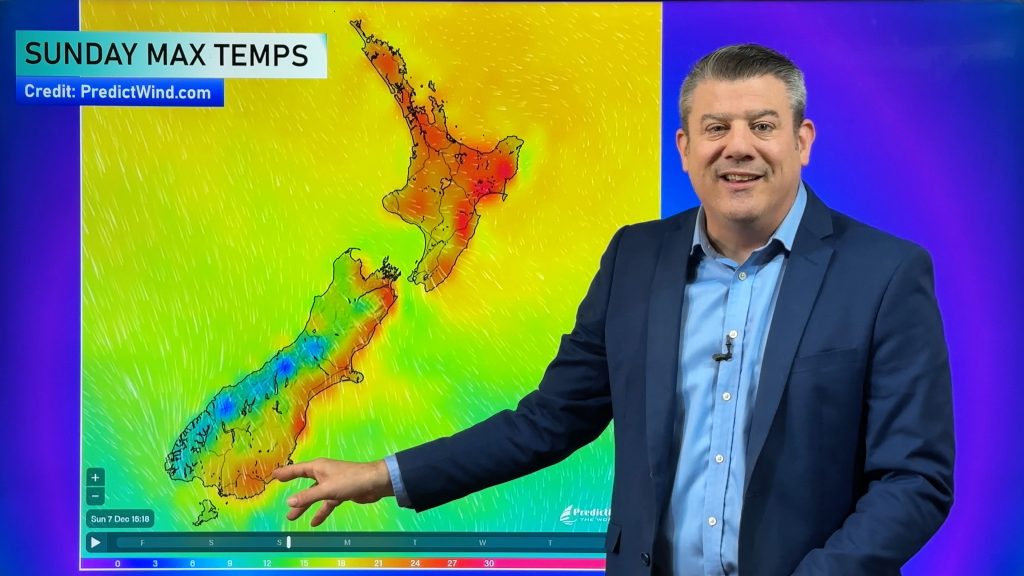
Temperatures reaching into the low to mid twenties for many in the North Island today, perhaps late twenties about some sheltered inland areas.
South Island
Morning cloud along the east coast breaks to a mostly sunny afternoon with some high cloud, winds from the east or northeast however further inland tilting more to the north or northwest. Northwesterlies push through to the coast later this evening. Morning cloud for the West Coast breaks to some sun for a time, cloud and some rain pushes into Fiordland from afternoon however gradually pushing northwards and the odd shower reaching North Westland this evening.
Southland has sunny areas and some high cloud, some mid level cloud develops this afternoon and may bring an isolated shower or two as northerlies tend more northwest. There is also the risk of a shower or spot of rain late afternoon / evening about Otago and South Canterbury. Nelson is mostly sunny with light winds tending northerly by midday.
Temperatures reaching into the mid to late twenties across southern, eastern and northern parts of the South Island today. Coastal fringe parts along the east coast could be a touch cooler though due to a ENE breeze. Highs reaching into the low twenties for the West Coast however mid to high twenties about inland Buller.
WeatherWatch.co.nz
Comments
Before you add a new comment, take note this story was published on 31 Dec 2018.


Add new comment