Tuesday’s Headlines: Heavy rain – West Coast, Potential for strong winds in the east, Warm temperatures
29/05/2023 7:00pm

> From the WeatherWatch archives
Here’s what is making the weather headlines today….
HEAVY RAIN – WEST COAST
A cold front moves over the South Island today coming in from the Tasman Sea, expect heavy rain for the West Coast as this moves through, starting out for Fiordland this morning and reaching up to Buller in the evening.
Northerlies ahead of the front change to the west in behind.
Metservice have put out a rain warning, you can see that here.

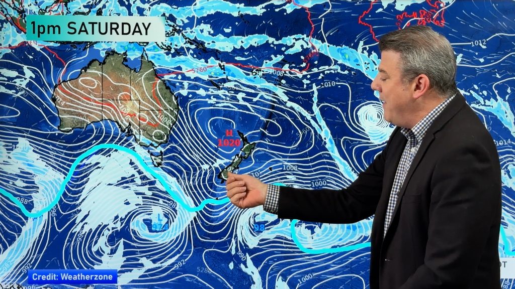
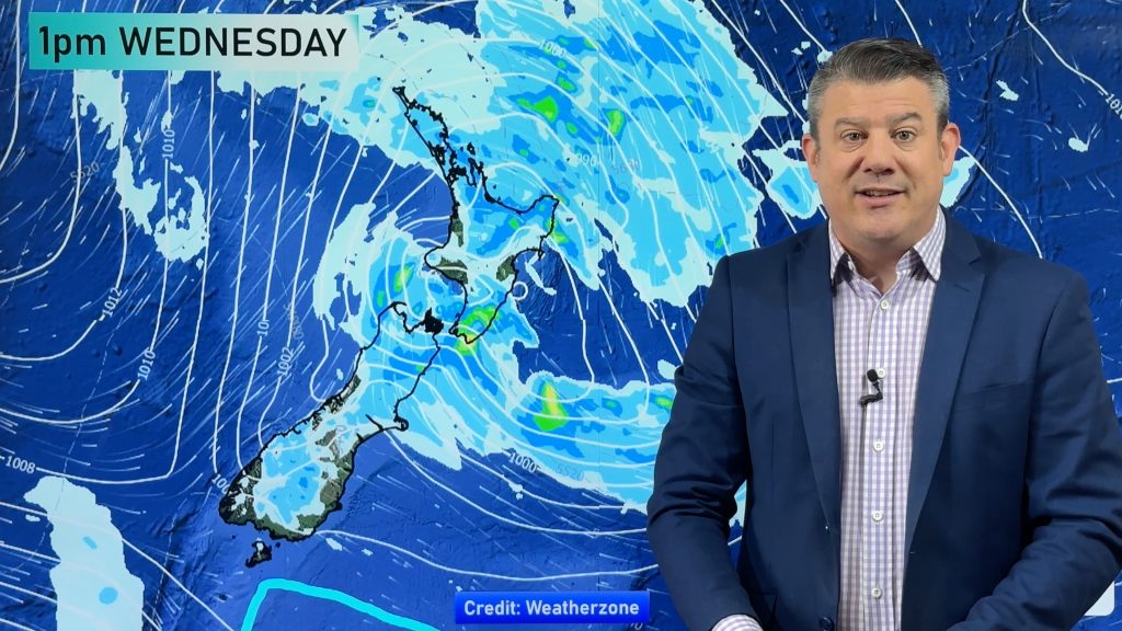
MSLP / Rain map – Tuesday 30th May 2023 9:00am – GFS Weatherzone.com.au 
MSLP / Rain map – Tuesday 30th May 2023 6:00pm – GFS Weatherzone.com.au
POTENTIAL FOR STRONG WINDS IN THE EAST
The northerly quarter airflow ahead of the aforementioned front becomes strong over the main divide from around midday before easing this evening once the front moves through. Northerly quarter winds may reach up to gale force for the Canterbury high country.
A ‘watch’ from Metservice can be seen here.

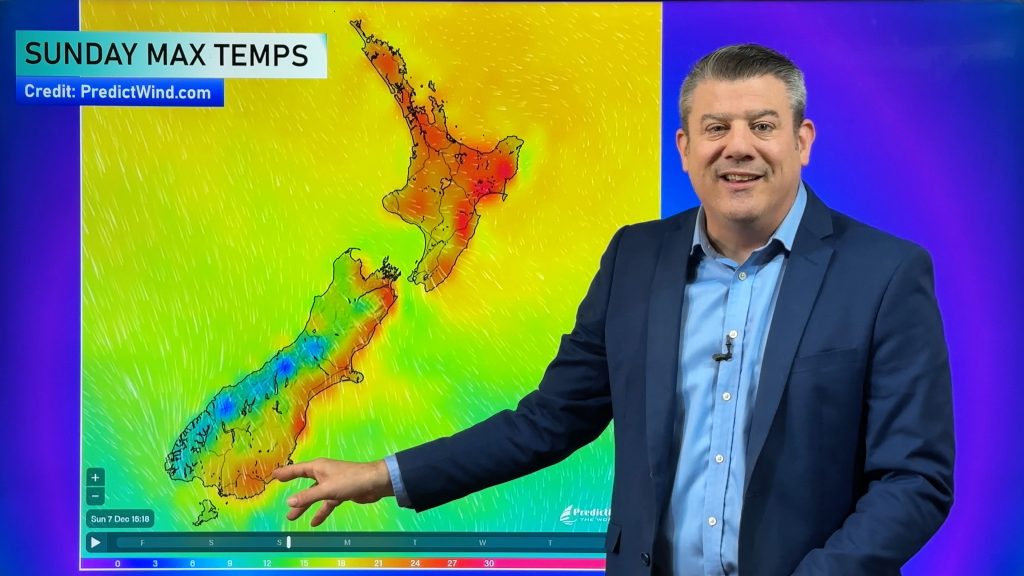
WARM IN THE EAST THIS WEEK
Westerly quarter airflow’s mean temperatures for eastern regions will likely sit in the mid to late teens this week, the eastern North Island even hits the early twenties. Wednesday may dip a degree or two though compared to the other days.
The upper North Island being the northern most part of the country doesn’t need westerly airflow’s to compete with the east, it will still get into the high teens.
Friday sees a cool southwest change spread northwards over the South Island so temperatures will naturally drop then, the eastern North Island doesn’t see those southwesterlies till evening so it’s still a warm day there.
Around the 5th June on wards we may see some really cold temperatures with antarctic southerlies moving in.

Comments
Before you add a new comment, take note this story was published on 29 May 2023.


Add new comment