Tuesday Newsfeed: Stormy weather departs, high pressure returns (+ Maps)
5/03/2024 12:00am

> From the WeatherWatch archives
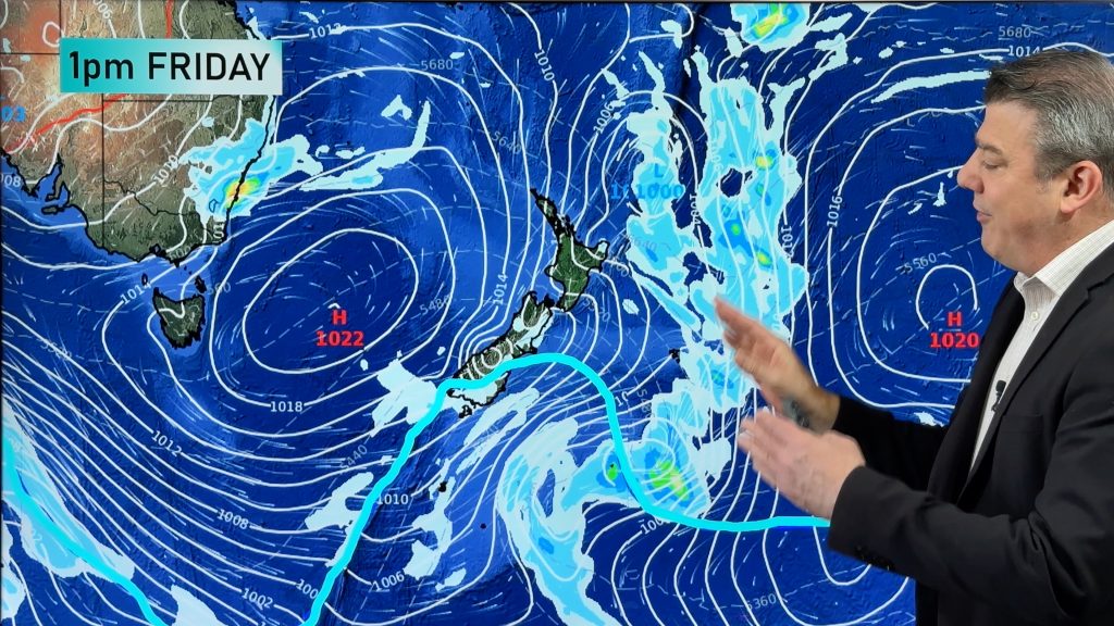
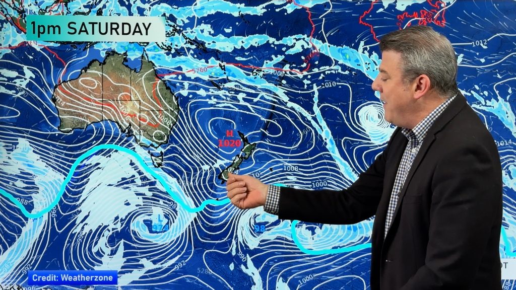
Tuesday will be very windy in parts of the lower South Island as a complex storm system moves south east of NZ and gradually away from us.
Winds will be strongest in the south-eastern corner of the South Island, with places like Dunedin or Otago Peninsula exposed to potentially damaging gusts today. Gales in Wellington ease back some today but turn blustery southerly (gale NW winds return on Thursday). WSW winds will pick up for the upper North Island and eastern areas too, as the low(s) depart.
Tonight high pressure expands further into the South Island and western North Island with air pressure lifting and winds easing. This means frosts are forecast through inland and central areas of the South Island. Frosts won’t be too widespread, but possible. Either way, a cooler/colder night is coming up.
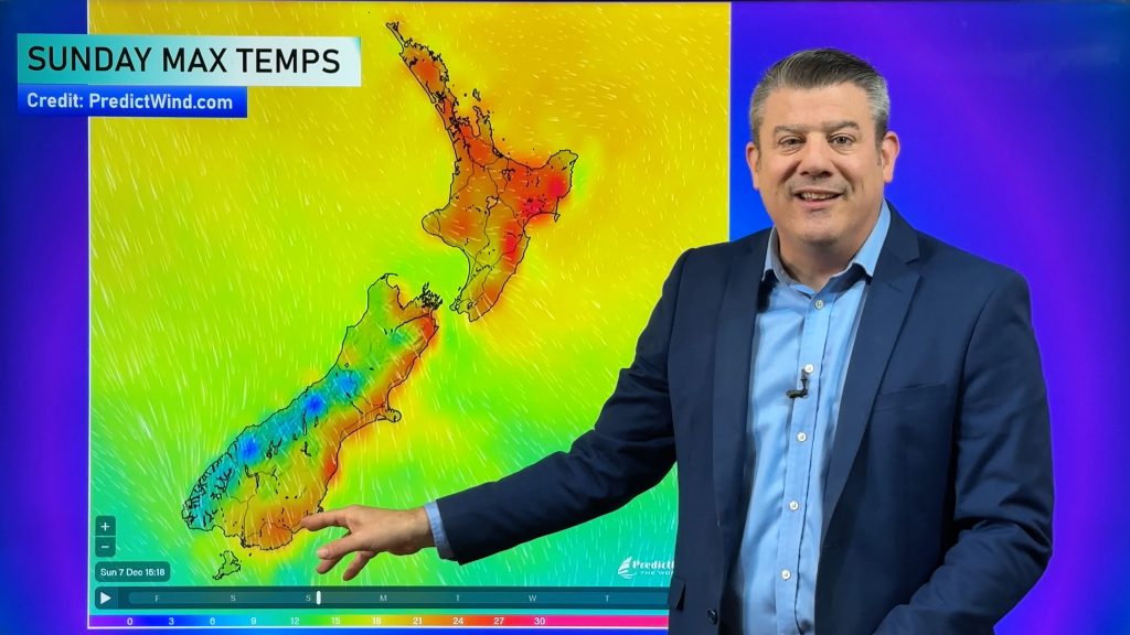
Temperatures lift up later in the week for many places.
Additional Weather Maps helpful for this storm are…
- Severe Weather Risks
- Cumulative Rainfall next 7 days
- Thunderstorm Risks
- Animated Wind
- Temperatures
- Frost Risk Maps


- Get Frost alerts in our New App!
You set the criteria. $6.99 a month for multiple Alerts & MetService Warnings & Watches all pushed to your device for 4 NZ locations. Don’t need alerts? Rest of the app is currently FREE. - Thank you for supporting NZ’s only independent private forecaster and broadcaster.
Comments
Before you add a new comment, take note this story was published on 5 Mar 2024.


Add new comment