Tuesday Newsfeed: Wet in northern NZ tonight + NEW Tropical Cyclone to be named soon (Queensland)
5/12/2023 3:55am

> From the WeatherWatch archives
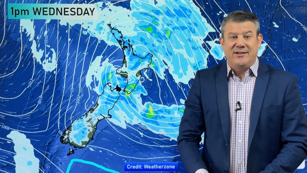
Updated 7:50pm Tue — Very weak low pressure lingers around the upper North Island but continues to weaken due to high pressure crossing the South Island today.
The low will be over the Chatham Islands by Thursday morning.
There was a severe thunderstorm in Northland this afternoon, but as of 7:50pm there were no thunderstorms in NZ. It’s possible an isolated one may still occur.
It was a cold start in Southland and Fiordland this morning (and nearby regions) with possible frosts. The pesky cooler South to South-West changes are more usual during an El Niño spring and summer for the lower South Island. Don’t be too down – today’s high in Invercargill was around 17 or 18 and into the low 20s further inland.
Elsewhere across New Zealand, today’s a fairly settled day but a few showers still lingering around – especially in the upper North Island where some may be heavy during the afternoon with possible thunderstorms.
Patchy rain with isolated heavy falls – and drizzly areas – will continue this evening but ease in the upper North Island and ease by Wednesday evening in places likes Hawke’s Bay and Gisborne.
The maps that matter most today are:
- Cumulative Rainfall maps here.
- Live Rain Radar
- MetService Thunderstorm Outlook
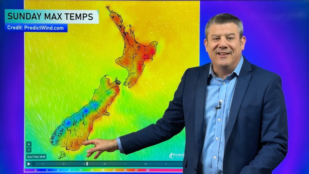
- Maximum Temperatures Map (Next few days)
- Minimum Temperature Map (Next few days)
Check your hourly and 10 day forecast at WeatherWatch.co.nz or for more details and event planning visit RuralWeather.co.nz for the most detailed and hyper-local forecasts in NZ.
- It’s always likely that more updates will be added to this newsfeed this morning.
- The full weather outlook will be in our next Weather Video out around lunchtime today.
- Don’t forget every Tuesday we now have a 7-Day Pacific Islands update with all the very latest on this developing tropical cyclone.


Comments
Before you add a new comment, take note this story was published on 5 Dec 2023.


Add new comment