Tuesday Newsfeed: High pressure crosses the South Island, showers for eastern NZ
18/03/2024 4:00pm

> From the WeatherWatch archives
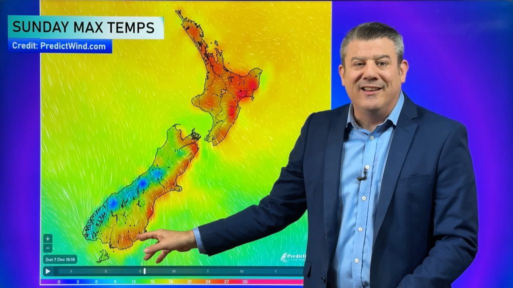
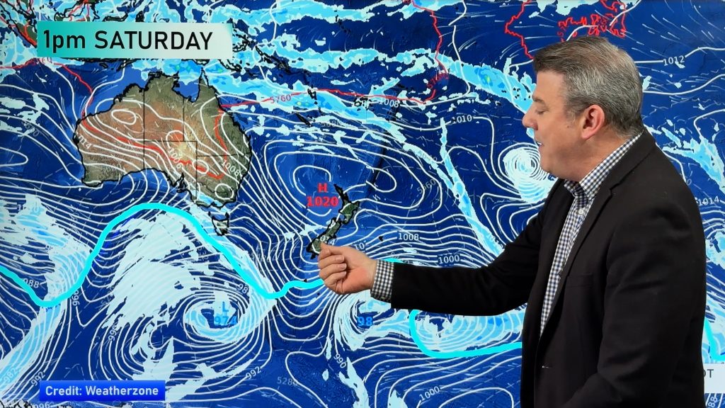
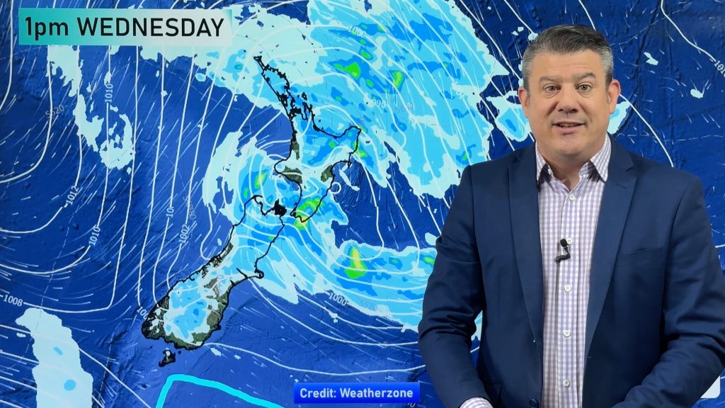
Showers continue along the eastern side of NZ on Tuesday as high pressure moves over the South Island, bringing mostly light winds to the south but windier south-easterlies to the North Island.
Wettest areas will likely be around northern Hawke’s Bay and the ranges nearby. The south-east air flow over the North Island can often be sunnier and milder by day for those further west of the main divide.
The high pressure zone tracks further east on Wednesday with most showers in the east later clearing. Cloudier weather moves in to the West Coast and might bring some wet weather – but nothing too substantial due to the high pressure zone. Milder winds also develop in the south of NZ on Wednesday.
Weather Maps useful today are …


- WeatherWatch.co.nz / New Alerting App / RuralWeather.co.nz
Comments
Before you add a new comment, take note this story was published on 18 Mar 2024.


Add new comment