Tuesday Newsfeed: Big high pressure returns ahead of weekend cold front
19/02/2024 4:00pm

> From the WeatherWatch archives
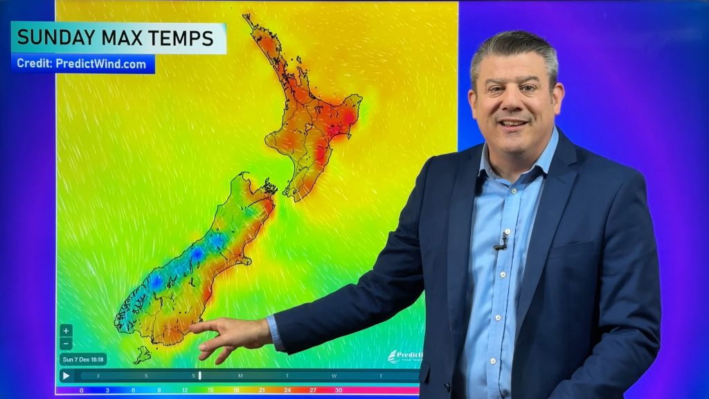
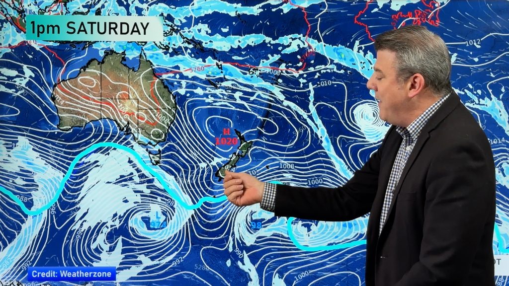
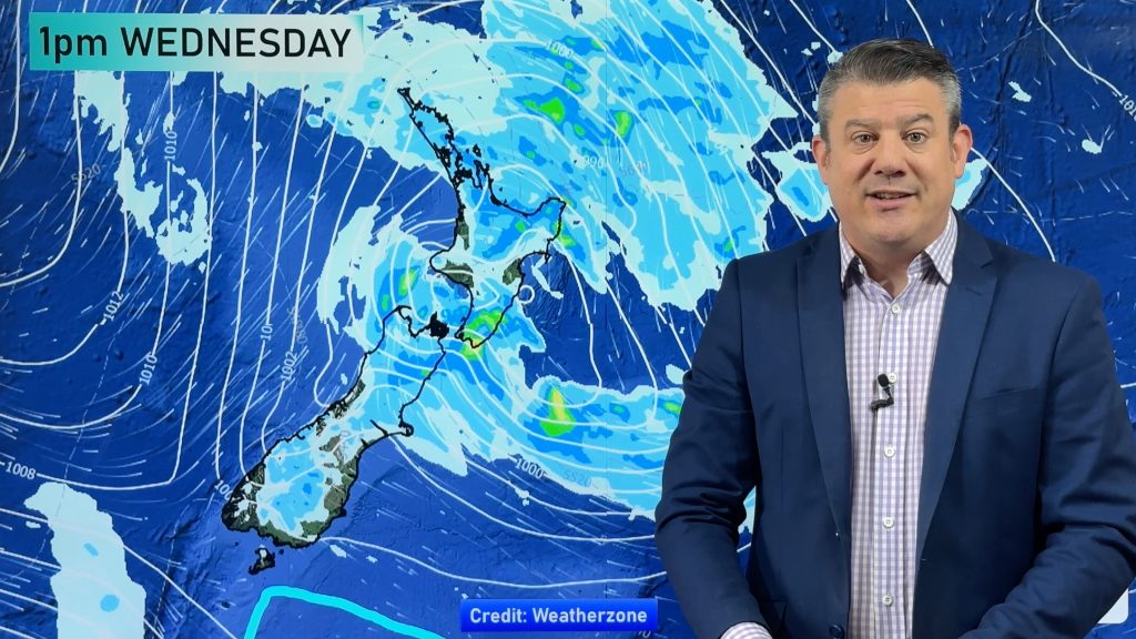
High pressure is ballooning out across New Zealand for this week and it will bring a cooler Tuesday for many regions. However later in the week the heat returns with sub-tropical nor’westers in some regions.
The windier, hotter, weather will be most noticeable in the east of both islands ahead of the next cold front moving up NZ this weekend and into Monday of next week. This next cold front will weaken significantly as it moves into the North Island.
See our 10 Day video from yesterday for more details. We have another video out later today too.
Weather Maps most relevant today are…

- WeatherWatch.co.nz
Comments
Before you add a new comment, take note this story was published on 19 Feb 2024.
Latest Video
Hot & dry for many + Tropical Cyclone potential next week near Solomons/Vanuatu
The first tropical cyclone of the South Pacific Cyclone season may be forming next week well north of NZ with…
Related Articles
Hot & dry for many + Tropical Cyclone potential next week near Solomons/Vanuatu
The first tropical cyclone of the South Pacific Cyclone season may be forming next week well north of NZ with…
Drier weather returning, warmer too + some tropical trouble brewing
High pressure is moving closer to NZ today, pushing away yesterday’s downpours and thunderstorms well offshore east of the country,…
Large low today, hit & miss downpours / thunderstorms + your weekend outlook
A large low pressure system is bringing unstable weather conditions to most of the North Island today, resulting in downpours,…


Add new comment
IAN JOHNSTON on 19/02/2024 6:36pm
I like the way you cover the weather over a week. Awesome work
Reply
WW Forecast Team on 19/02/2024 7:06pm
Hi Ian, thank you very much for taking the time to post a supportive comment – you words are really appreciated 🙂
– Phil D
Reply