> From the WeatherWatch archives
Tomorrow and Wednesday’s weather will be a few days of clearing out the cobwebs before we move into the long awaited westerly airflow type spring pattern this coming weekend, in between we’ll have an anticyclone that will bring settled weather on Thursday and Friday.
In the North Island expect a mix of sunny areas and some cloud for your Tuesday, showers at times also particularly in the west and south of the island slowly easing during the day. Damp weather will affect most of the South Island also however on the West Coast and about Nelson conditions are expected to be sunny. A few showers may linger just on the coast about Buller however as the southwesterly airflow clings a little closer to the land there.
As the flow turns north to northwesterly this coming weekend we can expect mild conditions on the east coast of the South Island, temperatures in the high teens are possible.
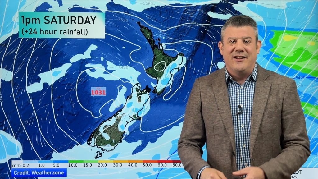
Homepage image / Midday weather map – weathermap.co.nz
By weather analyst Aaron Wilkinson, WeatherWatch.co.nz
Comments
Before you add a new comment, take note this story was published on 20 Aug 2012.


Add new comment