Thursday’s News: Warmest upper North Island – Rain this evening / overnight Canterbury – Unsettled this weekend
29/11/2023 6:00pm

> From the WeatherWatch archives
Here’s what is making the weather headlines today…..
WARMEST, UPPER NORTH ISLAND
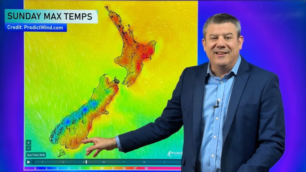
Temperatures are warmest today for the upper North Island, highs will likely reach into the early twenties. The upper South Island is not too bad also but perhaps only just reaching 20 for Nelson.
It’s a bit cooler elsewhere with central parts of the South Island the coolest with high’s in the mid teens.

RAIN THIS EVENING / OVERNIGHT CANTERBURY
A front passing out to the east of the South Island influences thickening cloud in the east, while the odd shower starts to move in from afternoon it’s this evening and overnight that there is looking to be some rain.
Friday morning rain clears from the south then showers move up the east coast of the North Island.

UNSETTLED THIS WEEKEND
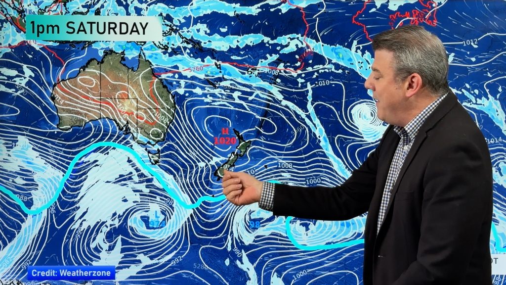
A northerly airflow builds over the South Island on Saturday with rain moving into the West Coast, becoming heavy later in the day.
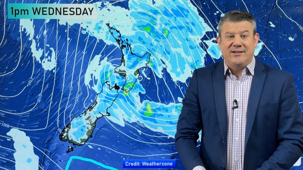
On Sunday rain spreads to the North Island, southerlies spread up the east coast of the South Island into the second half of the day bringing rain or showers. Heavy rain may move into the lower North Island around midnight as southerlies hit there.
The eastern South Island is starting to dry out a little so a touch more rain there would be welcome, and some will come tonight as above and then hopefully some more this weekend.

MSLP / Rain map – Saturday 2nd December 2023 10:00pm – GFS Weatherzone.com.au 
MSLP / Rain map – Monday 3rd December 2023 1:00am – GFS Weatherzone.com.au
Comments
Before you add a new comment, take note this story was published on 29 Nov 2023.


Add new comment