Thursday’s national forecast – NW then front
31/05/2023 12:00pm

> From the WeatherWatch archives
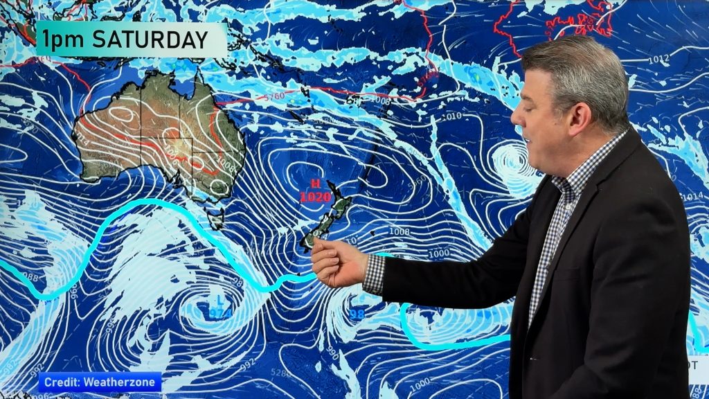
A northwesterly airflow builds ahead of a cold front moving in from the southwest, the front hits the lower South Island this evening then moving northwards to reach the lower North Island overnight.
Northland, Auckland, Waikato & Bay Of Plenty
Partly cloudy with occasional showers, mainly in the west. Bay Of Plenty has a mainly sunny day. Westerly winds.
Highs: 18-19
Western North Island (including Central North Island)
Mostly cloudy with occasional showers, northwesterly winds.
Highs: 13-18
Eastern North Island
Mostly sunny, some high cloud from afternoon. Northwesterly winds.
Highs: 18-21
Wellington
Cloudy areas, a few spits or showers, especially in the north. Northwesterlies strengthen especially later in the day.
Highs: 15-17
Marlborough & Nelson
Sun and thickening high cloud, spits for Nelson from afternoon, evening rain moves through and a few spits spread into Marlborough. Northwesterlies strengthen from afternoon.
Highs: 17-19
Canterbury
Sun and some high cloud, heavy rain in the high country evening, a few spots may then spread eastwards. Northerlies strengthen from afternoon.
Highs: 15-20
West Coast
Rain, heavy falls and the risk of a thunderstorm for Fiordland, reaching Buller in the evening. Freshening northwesterlies change westerly at night.
Highs: 14-17
Southland & Otago
Mostly cloudy, the odd spit. Rain for the Lakes District spreading from the west, heavy in the afternoon. Evening widespread rain for Southland and Central Otago. Coastal Otago has mainly dry weather but there could be a few evening spits. Northerlies change gusty westerly in the evening.
Highs: 17-18
Comments
Before you add a new comment, take note this story was published on 31 May 2023.


Add new comment