Thursday’s national forecast – Low moves away to the east (+10 maps)
15/12/2021 3:00pm

> From the WeatherWatch archives
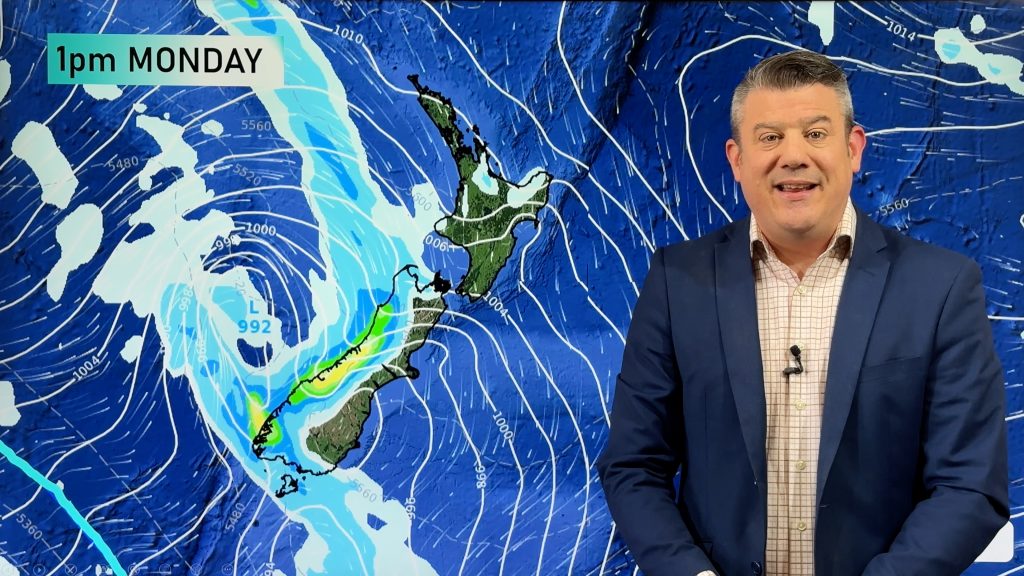
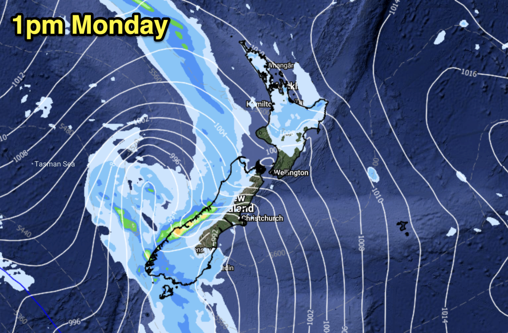
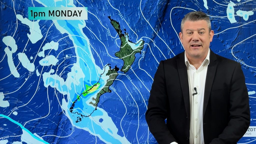
A low pressure system that has brought plenty of rain to parts of New Zealand the last couple of days is moving away out to the east, there may be some heavy rain this morning for coastal Canterbury then easing.
Please refer to your local, hourly, 10 day forecast for more details.
Northland, Auckland, Waikato & Bay Of Plenty
Showers, northerlies change to the west this morning. Sunny spells break through at times.
Highs: 23-25
Western North Island (including Central North Island)
Conditions may be dry first thing, rain spreads in during the morning otherwise. Rain eases to showers late afternoon. Northerlies change to the west.
Highs: 19-22
Eastern North Island
Wairarapa is mostly cloudy with some rain developing late morning, easing to showers in the evening. Further north there is some sun with warm temperatures, late afternoon a few showers move in as light winds change southwest.
Highs: 19-27
Wellington
Occasional showers, rain for northern parts of the region. Southerlies.
Highs: 17-19
Marlborough & Nelson
Some morning rain eases to the odd shower, light winds tend onshore in the afternoon.
Highs: 19-22
Canterbury
Morning rain, possibly heavy about the coast especially Banks Peninsula southwards then easing in the afternoon to showers and increasing dry spells. Fresh southwesterlies, strong about the coast, easing later in the day.
Highs: 16-19
West Coast
Areas of cloud and occasional sun, chance of a shower or two with light winds. Showers pick up later in the day or overnight.
Highs: 21-25
Southland & Otago
Mostly cloudy, occasional showers. East to southeasterly winds.
Highs: 16-20
WeatherWatch.co.nz is proud to be setting the international standard for forecasting in NZ – powered by IBM


Comments
Before you add a new comment, take note this story was published on 15 Dec 2021.


Add new comment