> From the WeatherWatch archives
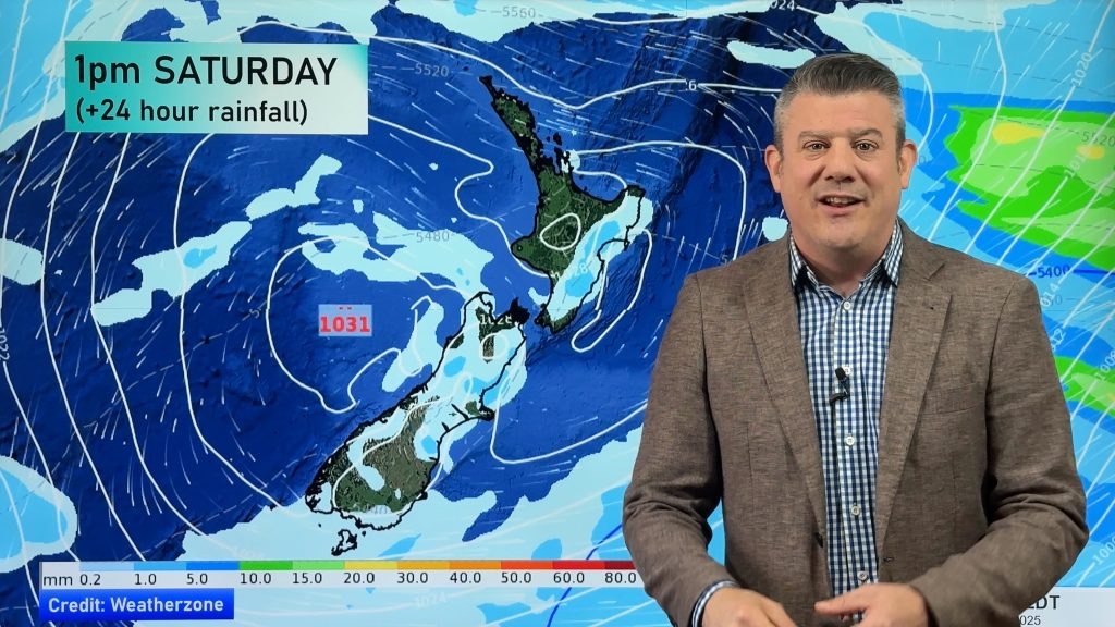
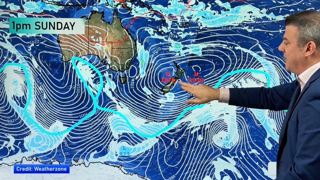
Our slow moving anticyclone sits out to the east of the country with a ridge just holding grip on to the North Island, meanwhile a northerly airflow slowly builds over the South Island. The weather is still looking mostly settled for today although cloud and fog patches will be a big feature.
Northland, Auckland
Sunny spells and some cloud with northeast breezes after any morning fog clears, cloud thickens in the evening especially about Northland.
Highs: 19-20
Waikato, CNI & BOP
Areas of fog possible morning and night mainly inland, sunny spells by day with light winds.
Highs: 17-21
Eastern North Island
Mostly cloudy with light east to northeast breezes. Low risk of a drizzle patch now and then north of Hawkes Bay otherwise mainly dry.
Highs: 18-19
Western North Island
Cloudy periods with light northerlies, the odd sunny spell now and then. Chance of morning fog mainly inland.
Highs: 18-19
Wellington
Fog slowly lifting then expect cloudy periods with northerly breezes.
High: 17
Nelson
Chance of fog to start then clearing to the odd sunny spell, becoming mostly cloudy in the afternoon however with northerly breezes.
Highs: 17-18
Marlborough
Sunny with light winds, northerlies pick up in the afternoon and some high cloud then increases.
High: 18
Canterbury
Chance of morning fog then sunny spells develop, expect some increasing high cloud during the day also. Northeasterly breezes.
Highs: 16-17
West Coast
Morning sunny spells however cloud then thickening from midday with northeasterlies. The odd shower at night.
Highs: 17-18
Southland & Otago
Sunny spells and thickening high cloud, northerly breezes. The odd shower about western Central Otago at night.
Highs: 14-16
WeatherWatch.co.nz
Comments
Before you add a new comment, take note this story was published on 15 May 2013.


Add new comment