> From the WeatherWatch archives
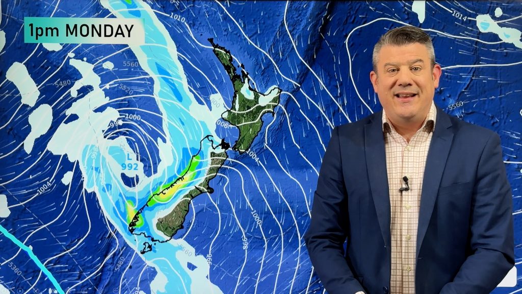
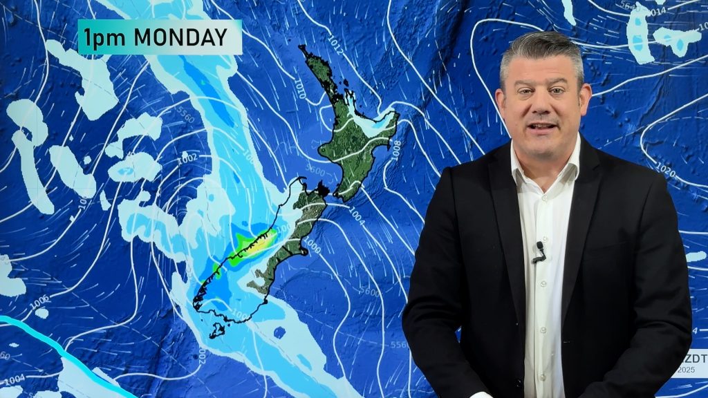
A cold southwesterly airflow lies over New Zealand today, a front clears the North Island early this morning moving off to the northeast. Another front bringing showers and strong winds to eastern coastal areas moves onto the lower South Island during this morning then moving northwards reaching the lower North Island later in the evening / overnight.
Northland, Auckland, Waikato & Bay Of Plenty
Early rain (possibly heavy) then easing to sunny spells and mainly dry weather, the odd shower may still appear at times. Gusty southwesterlies develop early on.
Highs: 16-18
Western North Island (including Central North Island)
Morning showers, possibly heavy then clearing by midday with sunny spells increasing. Southwesterlies winds, gusty about Taranaki.
Highs: 13-16
Eastern North Island
Morning rain clearing away then sunny spells increase. Breezy cool southwesterly winds.
Highs: 15-16
Wellington
Morning showers clear then sunny spells increase, fresh southerlies die out late afternoon. A few further showers overnight as southerly winds pick up again.
High: 13
Marlborough & Nelson
Any early showers clear then becoming sunny with southwesterly winds, perhaps dying out about Marlborough for a time. Southwesterlies freshen in the evening with some cloud possible.
High: 15
Canterbury
Sunny or becoming sunny early on, some cloud and a few showers possible mid afternoon through to early evening as southwesterly winds freshen. Southwest winds may be fairly brisk, strong about the coast where winds may even gust to gale. Overnight skies clearing up although a shower or two may remain about outer parts of Banks Peninsula. A frosty start then cold again overnight.
High: 14
West Coast
Becoming mostly sunny early morning, winds fairly cool from the southwest. Some cloud and a few showers this afternoon then clearing away in the evening.
Highs: 12-14
Southland & Otago
A strong cold southwest change moves into Southland early this morning then moving into Otago mid morning, showers may be heavy initially then easing and mostly clearing by evening. Showers may not clear coastal Otago till overnight. Southwesterlies about coastal areas may gusty to gale.
Highs: 11-12
By Weather Analyst Aaron Wilkinson – WeatherWatch.co.nz
Comments
Before you add a new comment, take note this story was published on 3 May 2017.


Add new comment