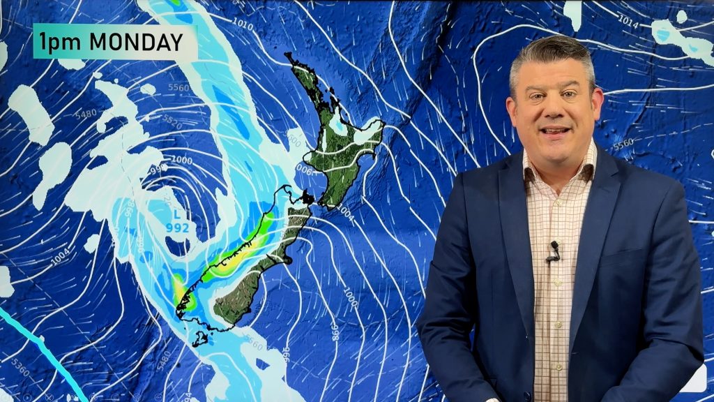
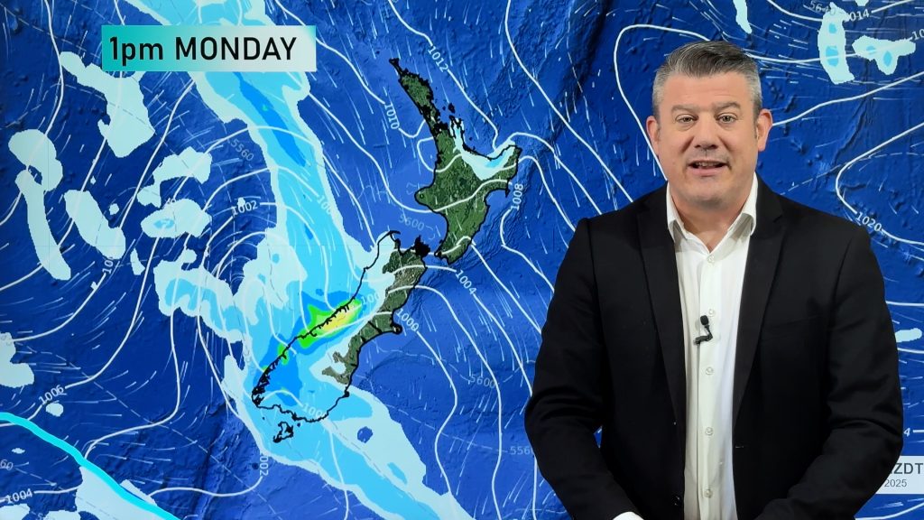
Thursday’s headlines (x2): Front moves northwards, Temperatures drop early next week
8/03/2023 6:00pm

> From the WeatherWatch archives
Here’s what is making the weather headlines today….
FRONT MOVES NORTHWARDS – T/STORMS AND HEAVY RAIN
A vigorous front moves northwards over the South Island today bringing heavy rain and thunderstorms in the west, there could even be a rumble of thunder about the southeastern corner of the South Island this afternoon.
Metservice have various watches and warnings out regarding this front, you can see them here.
For today’s thunderstorms outlook from Metservice please see this page here.
On Friday the front moves over the North Island, heavy rain in the west with thunderstorms is possible here too, scattered rain spreads eastwards.
WARM TEMPERATURES TILL EARLY NEXT WEEK
By and large temperatures will be reasonably warm through till this weekend, yes areas of rain or wind directions from the southwest will make it feel a bit cooler at times but generally it’s not too bad.
Early next week this changes with a cold southwest change on the way, temperatures for the South Island will drop to the early to mid teens on Monday.
The North Island doesn’t fear as badly but eastern regions still drop into the late teens on Tuesday, the upper North Island just gets into the early twenties.
After this period of cold southwesterlies a high moves in so heads up there could be a frost or two occurring mid March.

Comments
Before you add a new comment, take note this story was published on 8 Mar 2023.


Add new comment