Thursday’s Headlines: Rain accumulations next six days, Frosty from early next week, High still on track
28/06/2023 7:00pm

> From the WeatherWatch archives
Here’s what is making the weather headlines today….
RAIN THROUGH TO TUESDAY NEXT WEEK
Here’s a snapshot below of where most of the rainfall over the next six days will fall. As you can see western regions and the far south get more than in the east.
The various timings of fronts and bands of rain gets a little exhaustive to list all of them here, the best bet is to keep an eye on our rainfall forecast maps here. You can scroll through the maps using the slider at the bottom to see when showers or areas of rain will move through.

VERY FROSTY FROM EARLY NEXT WEEK
Conditions will clear up with light winds for inland parts of both Islands from early next week, heavy frosts are likely.
Monday will likely see showers for much of the North Island, it’s the inner South Island that has these very frosty conditions despite showers pushing into the far south and riding up the west and east coasts. It’s more inland north of the Mackenzie Country area.
Tuesday sees more widespread frosts develop, including the North Island now also.
HIGH STILL ON TRACK
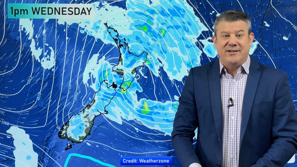
High pressure is still on track to start moving in around Wednesday next week, here is the latest map for Thursday.
Many will notice the weather improves from Wednesday, even Tuesday showers will have cleared for many but winds could still be quite fresh for coastal parts.

Comments
Before you add a new comment, take note this story was published on 28 Jun 2023.


Add new comment