Thursday’s Headlines: NW builds today – Warnings are in, Calming down Sat, Low and cold S’lys on Sunday
31/05/2023 7:00pm

> From the WeatherWatch archives
Here’s what is making the weather headlines today….
HEAVY RAIN WEST COAST – STRONG NW WINDS IN THE EAST
A northwesterly airflow strengthens over the South Island today, winds may rise to gale about Southland / Otago and inland Canterbury from afternoon.
Expect heavy rain for Fiordland, spreading northwards to reach Buller this evening. Thunderstorms are possible from afternoon also then moving northwards.
For more details on rain and wind watches / warnings from Metservice please see this page here.
For details on today’s thunderstorm potential from Metservice see this page here.

Metservice.com 
Metservice.com
CALMING DOWN ON SATURDAY
The front mentioned above moves over the North Island on Friday, this will being some rain in the west and perhaps a few spits in the east otherwise nothing to dramatic. The South Island has rain or showers in the west and far south, sunny in the east.
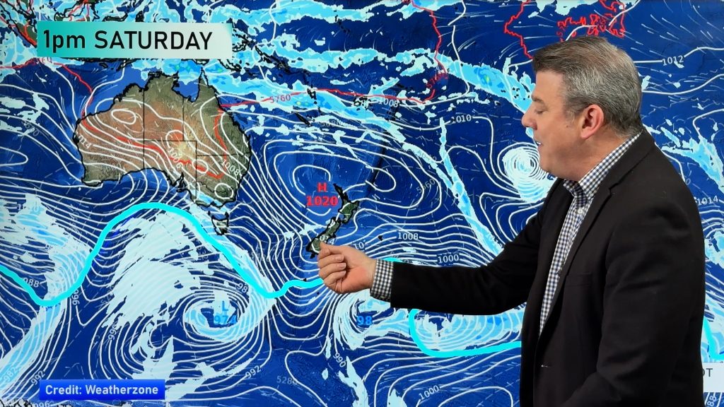
Once we get to Saturday we have an easing southwesterly airflow with high pressure pushing in from the Tasman Sea. There is a few showers in the west still, also the far south in the morning but it’s nothing all that bad. Eastern regions have sun, midday on wards may see cloud Banks Peninsula northwards as winds tend northeast, the eastern North Island picks up on some cloud from midday also with winds remaining from the southwest.

MSLP / Rain map – Friday 2nd June 2023 12:00pm – GFS Weatherzone.com.au 
MSLP / Rain map – Saturday 3rd June 2023 12:00pm – GFS Weatherzone.com.au
LOW ON SUNDAY WITH COLD SOUTHERLIES
A low pressure system with cold southerlies on the back end of it moves in on Sunday. There looks to be plenty of wet weather moving in, the eastern South Island may pick up on a bit of rain with heavy falls in the first half of the week then gradually tapering off into the second half. The heaviest rain will be where a frontal systems feeds in so the positioning may change from day to day.
Further north gets rain also especially later on Sunday as a front moves over. Monday on wards areas of instability linger so isolated heavy downpours and thunderstorms may occur for much of next week, the specifics of which can be narrowed down as we get closer to this event.
There will be snow but for most it now looks to be above about 700 or 800m, it’s only the lower South Island where into the second half of Sunday and the first half of Monday it may fall to around 500m, perhaps 400m if one is lucky (or unlucky enough). Either way the ski fields should benefit that’s for sure.

The map below runs from today through to Thursday 8th June. Blue colouring means that part of the country is expecting more rainfall than would normally be expected at this time of year, red means less rainfall is expected and white is an average amount of rainfall. The more intense either red or blue then either scenario is more true.

Comments
Before you add a new comment, take note this story was published on 31 May 2023.


Add new comment