Thursday Newsfeed: North Island and inland SI swelters,
21/12/2023 5:14am

> From the WeatherWatch archives
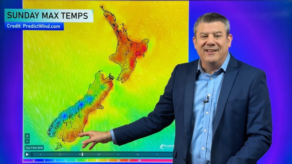
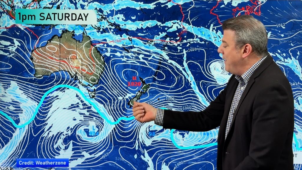
Updated 6:13pm — High pressure brings more mainly settled and hot weather today, especially for the North Island with highs likely reaching into the late twenties, early thirties for parts of the east coast. The South Island sees a weak front push north bringing cooler temperatures in the south and eventually east.
It’s not to say some South Island regions will not get hot because some certainly will, inland parts of the upper South Island and the Mackenzie Country will likely climb into the late twenties or early thirties also.
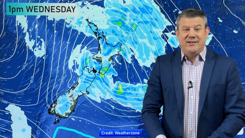
The lower half of the South Island has some precipitation, rain for Southland and Fiordland this morning then elsewhere a few showers creep in this afternoon. Later this afternoon or early evening a few isolated heat showers may form about the Molesworth area before clearing away.
Maps most relevant today are…
- Live Rain Radar
- Animated Temperature Maps
- RuralWeather: Localised Cloud, UV & Temperature Data & Graphs
See your local hourly & 10 day forecast at WeatherWatch.co.nz – or for more details and event planning visit RuralWeather.co.nz for the most detailed and hyper-local forecasts in NZ.
It’s possible further updates will be added to this Newsfeed today, please check back below for possible updates.


WeatherWatch.co.nz – Daily Newsfeed
Comments
Before you add a new comment, take note this story was published on 21 Dec 2023.


Add new comment