Your web browser (Internet Explorer) is out of date. Some things will not look right and things might not work properly. Please download an up-to-date and free browser from here.
12:17am, 6th December
Home > News > Friday Newsfeed: High pressure slides ea...
Friday Newsfeed: High pressure slides east, cold front waits over the Tasman Sea
22/02/2024 3:00pm

> From the WeatherWatch archives
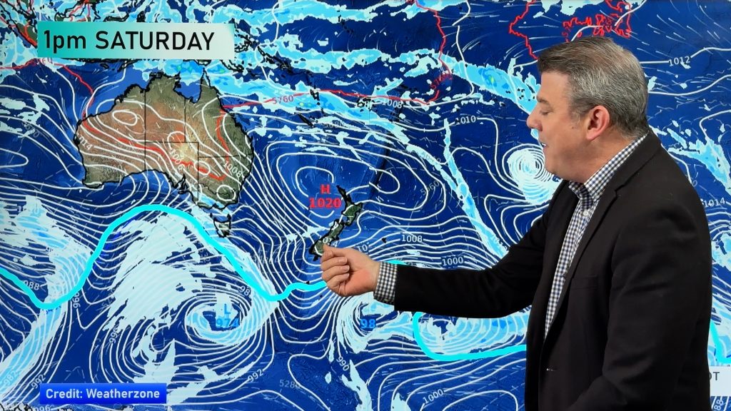
The high over NZ moves east today and sees a few showers around the North Island. Track on rain radar today along with our hourly forecast data, so you can monitor it accurately – as it’s a messy set up. Most places are dry.
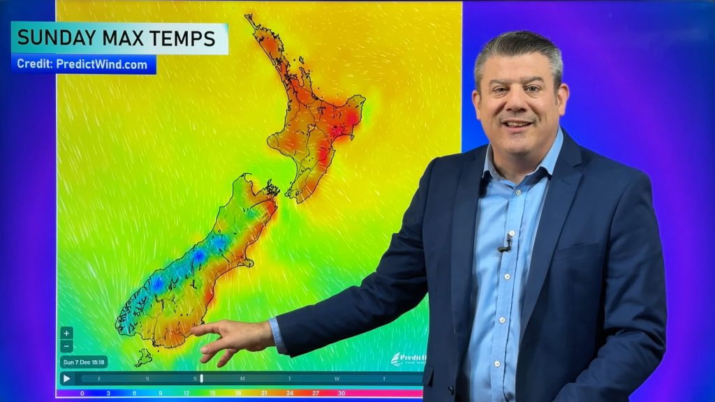
As the high shifts east, a hotter nor’west flow comes in behind it – starting in the lower South Island and Cook Strait areas today and building further into Saturday.
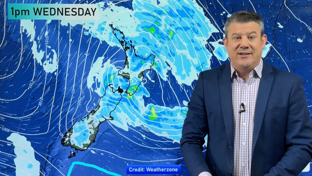
A cold front will slowly move up NZ this weekend and into Monday, falling apart as it does so. It could bring 15 to 30mm to western areas and 5 to 10mm to eastern areas. Check your local WeatherWatch and RuralWeather forecast for rainfall estimates. Our new alerting app isn’t so accurate with showers – but is useful with cold fronts like this one for alerting you to 10mm or 20mm etc.
Some severe weather is possible in the South Island.
⚡️Spot the cold front heading towards #NewZealand this weekend. Fun fact: Parts of Tasmania were over 36c yesterday (well above their normal). 🌡️Some eastern parts of NZ will be in the upper 20s and possibly lower 30s ahead of the cold front. pic.twitter.com/wAFgKGlxPI
— WeatherWatch.co.nz (@WeatherWatchNZ) February 22, 2024
🌀⛓️🌀A chain link fence of low pressure in the tropics.
— WeatherWatch.co.nz (@WeatherWatchNZ) February 22, 2024
Each low "steals" energy from the one nearest it, so no tropical cyclone risk in a set-up like this. Just a lot of thundery wet weather in the tropics. High pressure in the NZ area is keeping it up there, not down here. pic.twitter.com/7r4MyGB5io
Additional Weather Maps most helpful at the moment are…

- WeatherWatch.co.nz / RuralWeather.co.nz / New App
Comments
Before you add a new comment, take note this story was published on 22 Feb 2024.
Latest Video
Hot & dry for many + Tropical Cyclone potential next week near Solomons/Vanuatu
The first tropical cyclone of the South Pacific Cyclone season may be forming next week well north of NZ with…
Related Articles
Hot & dry for many + Tropical Cyclone potential next week near Solomons/Vanuatu
The first tropical cyclone of the South Pacific Cyclone season may be forming next week well north of NZ with…
Drier weather returning, warmer too + some tropical trouble brewing
High pressure is moving closer to NZ today, pushing away yesterday’s downpours and thunderstorms well offshore east of the country,…
Large low today, hit & miss downpours / thunderstorms + your weekend outlook
A large low pressure system is bringing unstable weather conditions to most of the North Island today, resulting in downpours,…
Navigation
© 2025 WeatherWatch Services Ltd


Add new comment
Marty on 24/02/2024 1:45am
Any sign of a cold snap approaching the Queenstown/southern lakes region in the coming weeks?
I’m hoping for a major cold change here in early – mid March.
Thanks
Reply
WW Forecast Team on 24/02/2024 8:47pm
Hi Marty – Nothing major just yet – but certainly some regular colder changes come in at least once a week now. Our next ClimateWatch update for the month of March is coming out this Friday (March 1).
Cheers!
– WW
Reply