Thursday Newsfeed: Front in the south
3/01/2024 4:00pm

> From the WeatherWatch archives
Much of New Zealand is dry today but we are shaking things up a little thanks to a weak trough and a front. Our weak trough extends out from a weak low to the north and this brings cloud and a few light showers to the northeastern side of the North Island (East Cape through to Northland). Although showers may not reach Auckland and especially Northland till later today. Reasonably sunny for most others but expect cloud in the west this morning then breaking away.
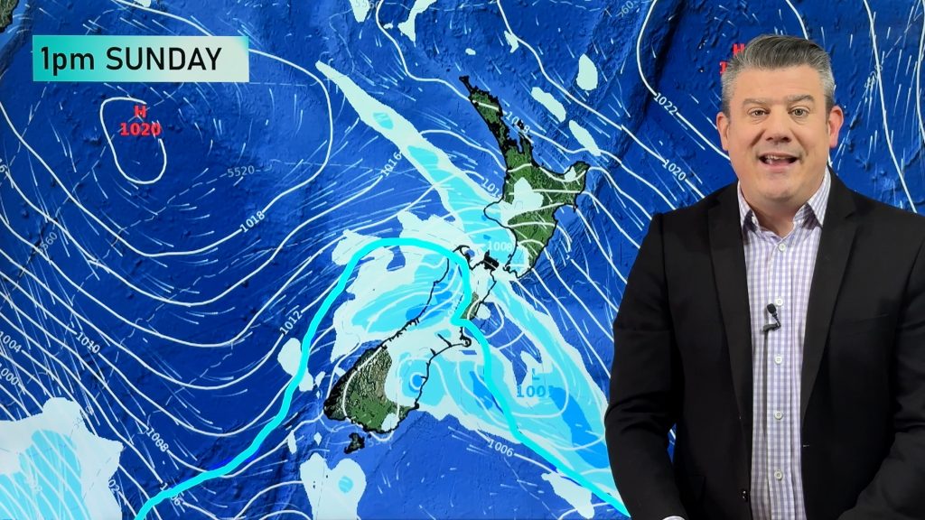
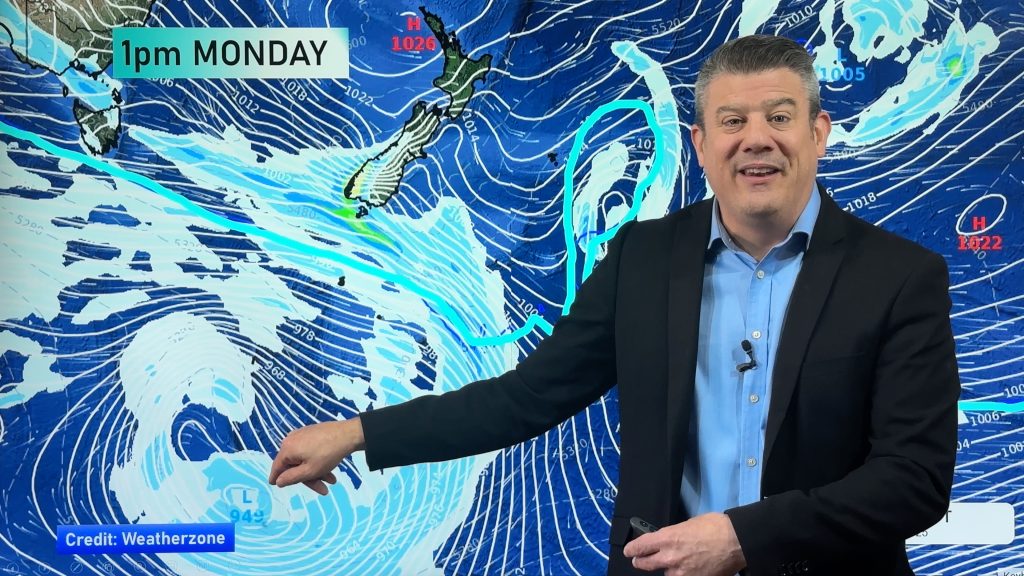
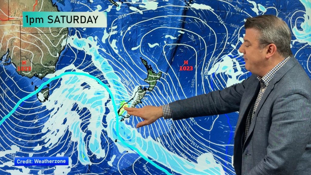
For the South Island we see showers gradually spread north along the West Coast during the day, rain for Fiordland from afternoon becomes heavy then this evening rain moves into Southland as a front moves in from south of the country.
Expect a hot day in the east thanks to a northwesterly style set up, temperatures will likely reach into the mid to late twenties. On Friday temperatures for the South Island will be noticeably cooler thanks to cloud and showers.
Maps most relevant today are…
- Live Rain Radar
- Animated Temperature Maps
- RuralWeather: Localised Cloud, UV & Temperature Data & Graphs
See your local hourly & 10 day forecast at WeatherWatch.co.nz – or for more details and event planning visit RuralWeather.co.nz for the most detailed and hyper-local forecasts in NZ.


WeatherWatch.co.nz – Daily Newsfeed
Comments
Before you add a new comment, take note this story was published on 3 Jan 2024.


Add new comment