Thursday Newsfeed: Cooler deep south, 30+ in the north, 2 Tropical Cyclones South Pacific
7/02/2024 10:00pm

> From the WeatherWatch archives
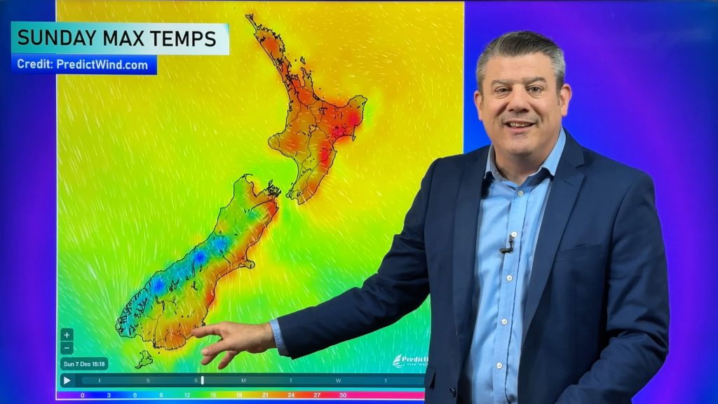
A windy westerly and a few showers will brush the deep south today while other regions further up the country will again be under high pressure and looking at maximum temperatures in the mid to upper 20s and for some even the lower to mid 30s.
High pressure is expanding across New Zealand but it will also usher in a few showers to the east – mostly around Hawke’s Bay. There may be some coastal drizzle in Otago and Canterbury, although it’s not locked in. The eastern South Island is cooler today, with a cooler change moving up the eastern North Island later today and/or tomorrow.
Wellington may be a bit cloudy today.
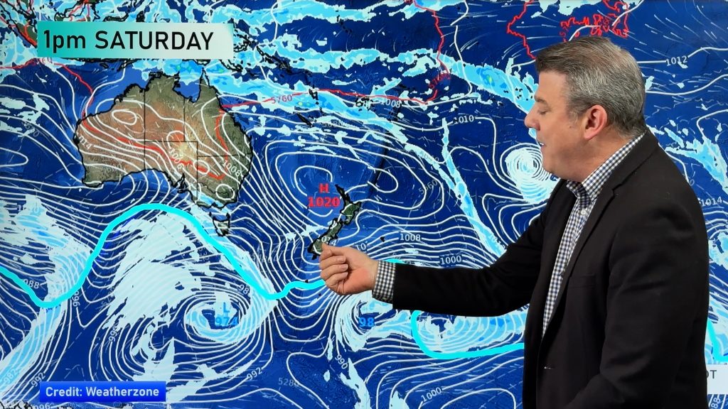
While Friday looks even more settled across the nation, another cold front will move into the lower South Island on Saturday bringing some rain or showers and a day of colder air to Southland and Otago.
Meanwhile, there are two Tropical Cyclones north east of New Zealand at the moment. Neither of them pose any threat to New Zealand but Cyclone Nat is passing south of Tahiti today and newly formed (this morning) Cyclone Olai may bring some risks to isolated parts of the Cook Islands. Both are generally offshore storms.
Weather Maps most relevant today are…
- Please DOWNLOAD our new FREE App.
- Upgrade to the PRO Alerting version – Details here. YOU set the criteria for your own push alert notifications (at multiple locations if need be).
- Thank you to everyone who has downloaded our new app (especially the PRO version!) – you’re backing a small Kiwi business surviving against two tax funded commercial Government forecasters.


Comments
Before you add a new comment, take note this story was published on 7 Feb 2024.


Add new comment