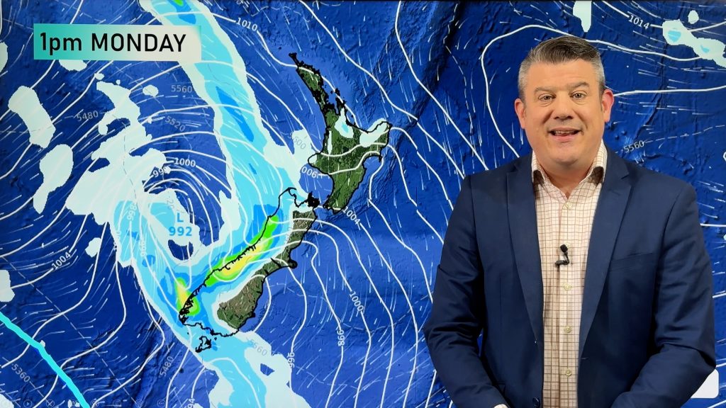
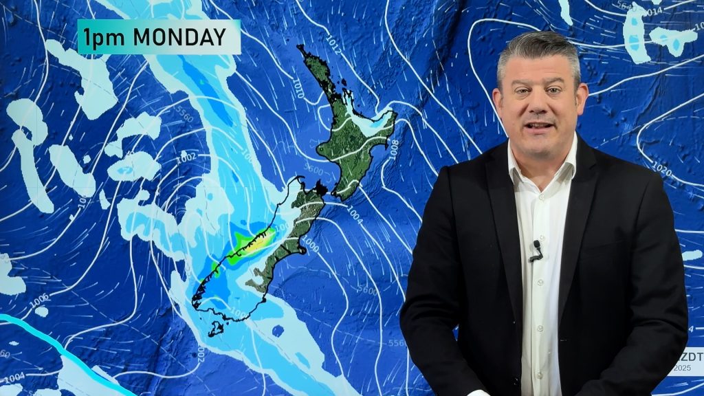
The main Weather News Highlights across NZ: Mon, Tue, Wed
16/04/2017 7:00pm

> From the WeatherWatch archives
A low pressure system brings showers to the North Island today while a ridge in the south brings settled weather, a ridge brings mainly settled weather on Tuesday however that doesn’t necessarily mean cloud free for some regions. A ridge stretching out from a high in the Tasman Sea on Wednesday continues to bring mainly settled weather.
Monday (3:00pm MSLP / Rain map
Isolated showers may be heavy at times for much of the upper North Island today however in the east a southerly change may make showers turn into thunderstorms that then easing later this evening.
Not a lot going on in the South Island although some settled weather will be nice for a change. But there is plenty of cloud about this morning in the east which gradually breaks to some sun this afternoon. A cool start for some inland areas.

Tuesday (3:00pm MSLP / Rain map)
A ridge brings mainly settled conditions to New Zealand on Tuesday. The sunniest weather is in the west while eastern regions see cloudy areas. A few showers in the case of the eastern North Island. Once again a cool start to the day for inland parts of the South Island.

Wednesday (3:00pm MSLP / Rain map)
Yet more settled weather on Wednesday although it won’t likely be clear and sunny for all. Expect some cloud at times for most. A weak front pushed onto Southland around midday bringing the chance of a shower which works its way up to Canterbury by evening. A cool start for inland areas of both islands.

– Please note, the idea behind this update is to focus on the main weather highlights, which is why not all regions are mentioned.
For specific 10 day information for your city, town, rural community or island please see the 1500 forecasts on our homepage!
– Aaron Wilkinson, WeatherWatch.co.nz
Comments
Before you add a new comment, take note this story was published on 16 Apr 2017.


Add new comment