> From the WeatherWatch archives
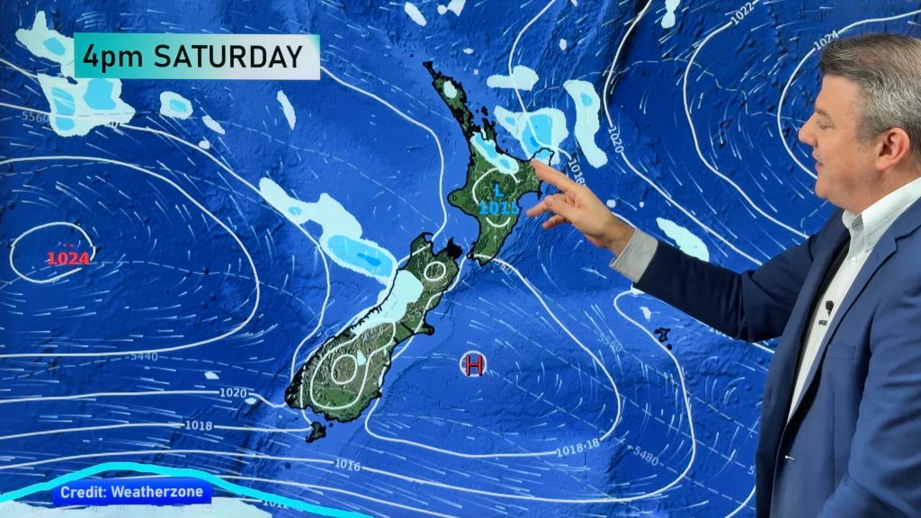
The skies should start to clear across New Zealand today and winds will ease as a large high drifts in from the Tasman Sea according to WeatherWatch.co.nz.
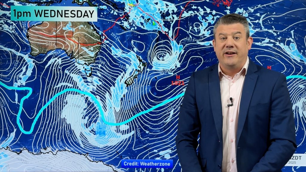
The windy, showery, weather that has affected many of us this week was associated with a deep low south of New Zealand but as that low continues to move away so to does the rougher weather.
 Clear skies and south west winds will ease today and by tomorrow the high should cover the entire country.
But WeatherWatch.co.nz says the high will be short lived. A warm north westerly will spread into the South Island on Friday and spread northwards into the North Island over the weekend.
Rain will spread up the west coast across the weekend as the system moves in from the Tasman Sea,
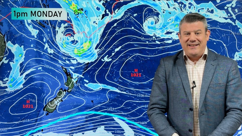
By next week a large low should form in the Tasman Sea, meaning wetter, windier and warmer weather is on the cards for the first week of August.
Image: Twin rainbow / Paul Taylor
Comments
Before you add a new comment, take note this story was published on 27 Jul 2010.


Add new comment
sw on 27/07/2010 11:19pm
Give us a decent real high not these pathetic ridges from the north otherwise if not so bring on the next tasman low.
Reply
sw on 27/07/2010 5:30pm
Always think a high will always bring settled weather,depends where you are in relation to the wind flow,Canterbury for instance can be fine when pressures are low with low centres just to the south of them,Auckland can be fine when a moist SE flow covers the north island conversely a large high parked close near Kaitaia for instance brings overcast,sometimes rather windy drizzly weather,Think our best day in the north will be on saturday after the high starts to move east of us.
Reply