> From the WeatherWatch archives
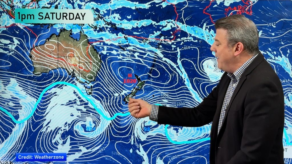
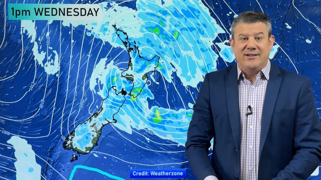
The rain is moving through the North Island faster than forecast as a big high near Australia expands faster helping push the rain through and limiting the chances of a lingering low over the North Island. It’s always been a bit of a messy forecast but the latest shows the high (which was initially forecast to only cover the South Island on Monday) pushing into the North Island for the start of the week.
A front with heavy falls is still crossing the North Island today, tracking eastwards.
Behind it is a colder change which is spreading north up the South Island and moves into the North Island later today and into Monday.
Upper North Island:
Morning rain clearing earlier than initially thought with a SW change. Rain will be heaviest in the east earlier in the day.
Highs: 17 to 19
Lower North Island:
Early rain clears then may be a dry time before a colder southerly change brings rain or showers.
Highs: 16 to 18
Upper South Island:
A period of rain or showers developing with a cold south to south west change.
Highs: 12 (Christchurch) to 17 (Nelson)
Lower South Island
Cold with showers, mostly in the south and east. Becoming sunny on the West Coast. Winds from the Southerly quarter.
Highs: 8 to 12, may feel a few degrees colder in the wind.
– WeatherWatch.co.nz
Comments
Before you add a new comment, take note this story was published on 29 Apr 2017.


Add new comment