Sunday’s forecast: Spring westerlies about to roar back across NZ (+9 Maps)
18/12/2021 3:00pm

> From the WeatherWatch archives
A late spring blast of westerlies is coming to NZ with severe gales expected through the South Island’s interior and the lower North Island in the hours and days ahead.
The westerly change is a reminder that our Southern Ocean weather pattern can dominate and push La Nina weather patterns aside from time to time, something WeatherWatch.co.nz talked about in our December & Summer ClimateWatch update.

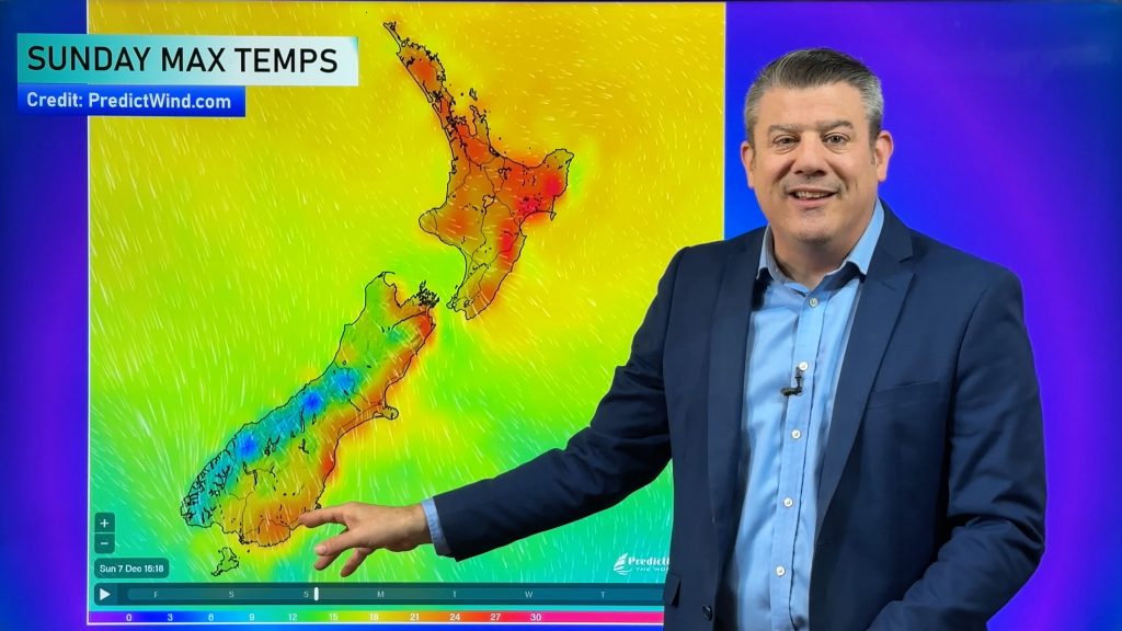
The incoming weather means eastern areas will be drier and hotter, western areas cloudier and a little cooler with heavy rain on the West Coast, mostly in Westland and especially in Fiordland.
HIGHLIGHTS:
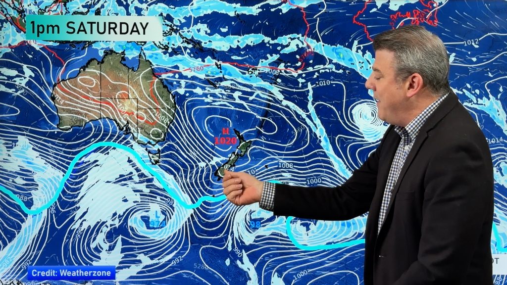
- After a fairly settled Saturday, the next rain event is ready to affect the South Island from the southwest starting today.
- The first cold front will graze the South Island today, which will be followed by the second and more powerful front on Monday.
- The heaviest falls will be on Monday across Fiordland and the southern West Coast, and isolated to scattered rain will linger afterwards.
- Over 200mm is possible in Fiordland and South Westland.
- Northwesterly winds will pick up towards Monday and persist until Tuesday night. Gusty winds over 100 km/h is likely across mountainous areas, Cook Strait, coastal areas of southwestern South Island, and Stewart Island.
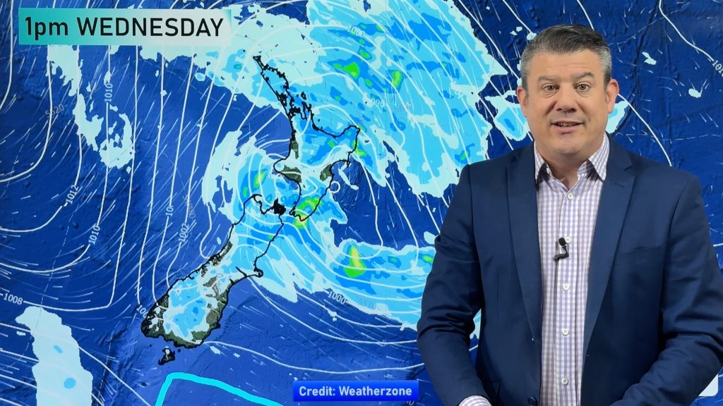
- After a brief relief on Wednesday, another round of gusty westerly driven winds is likely on Thursday.
- Some places this morning will be a little cooler than normal across inland areas of North Island under high pressure.
- Other than that, both maximums and minimums will tend to be above normal in the days/nights ahead.


Comments
Before you add a new comment, take note this story was published on 18 Dec 2021.


Add new comment