> From the WeatherWatch archives
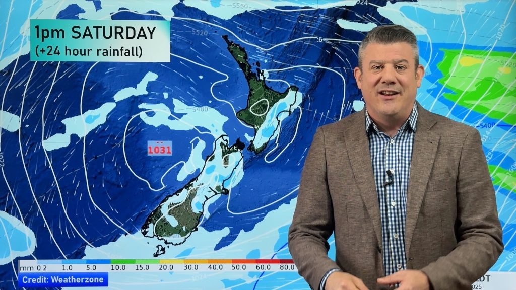
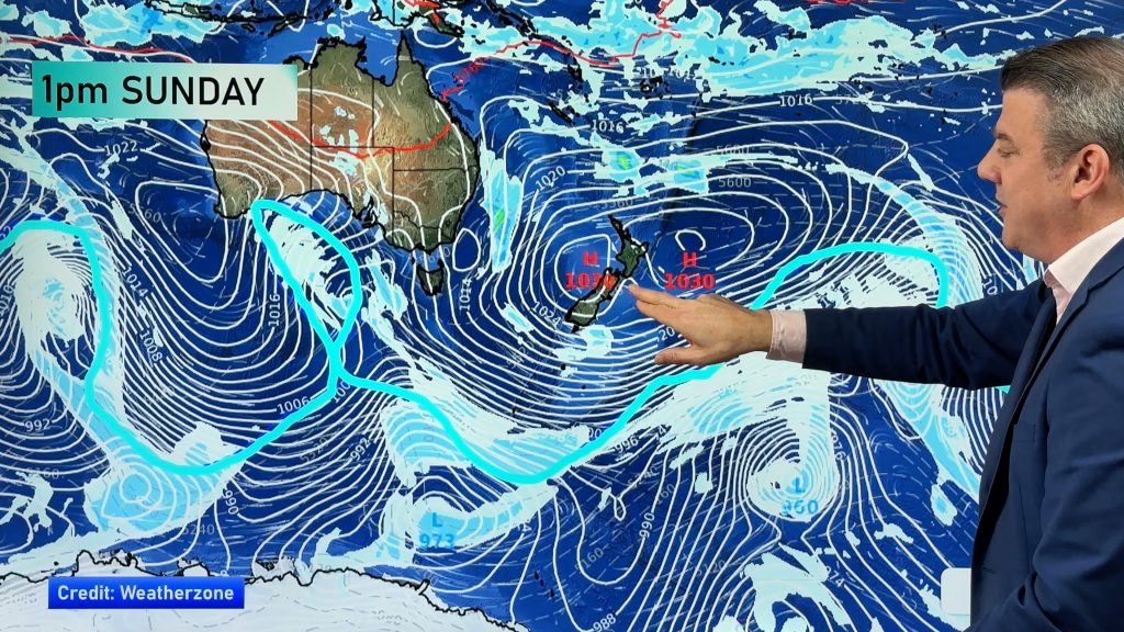
Today the country will be in the midst of a weather battle and being hit from all sides with conditions ranging from heavy rain to big gales and blizzards.
Alpine roads in the south look to be hit hard by snow, thunderstorms could rattle parts of the North Island and high wins are expected over the top and bottom of the country.
Yesterday and last night Auckland, Hamilton and Tauranga saw decent dumps of rain with some flooding resulting and trees downed as well as a lot of surface water on roads. It might not be the end of it either.
We’ve been watching this approacing system from the south since early last week and apart from its later arrival the rest of it is still fairly potent.
The northern part of the country could see some localised heavy downpours of rain along with thunder and lightning on occasions and also big gusts are likely. It might take a bit of time to get going but the risk is certainly there.
Official warnings have been issued and venturing on the water wouldn’t be ideal today.
Possibly an even more significant system is hitting the deep south this morning. Polar air will bring a period of very strong south to southeast winds with some heavy rain and snow levels dropping.
This will gradually push across Canterbury this afternoon with heavy falls of rain possible and snow accummulating quickly at higher levels tonight.
“Across some areas it’s looking quite explosive” says weather analyst Richard Green.”After months where the weather was mostly dry and serene today and tomorrow will certainly be an adjustment for quite a few people.The winds could clock up some healthy totals as well as rain and snow and it appears it’s all coming at once”.
WeatherWatch says surface flooding is a possibility at either end of the country today and care will be needed by motorists on the nation’s roads. Lindis Pass and the Milford Road appear to be the passes or stretches of highway where snow could settle but moreso about the Lindis as heavy falls could take place from later this morning and last the rest of the day.
Snow is also expected further north about the tops of Arthurs and Lewis Passes however not to any significant levels until tomorrow perhaps.
Central parts of New Zealand might not see the worst of the weather today and if that’s the case Monday could more than make up for it as the southerly outbreak pushes north.
-WeatherWatch
Comments
Before you add a new comment, take note this story was published on 4 May 2013.


Add new comment