Sub-tropical winds to push temperatures above normal for several days
21/10/2020 10:55pm

> From the WeatherWatch archives
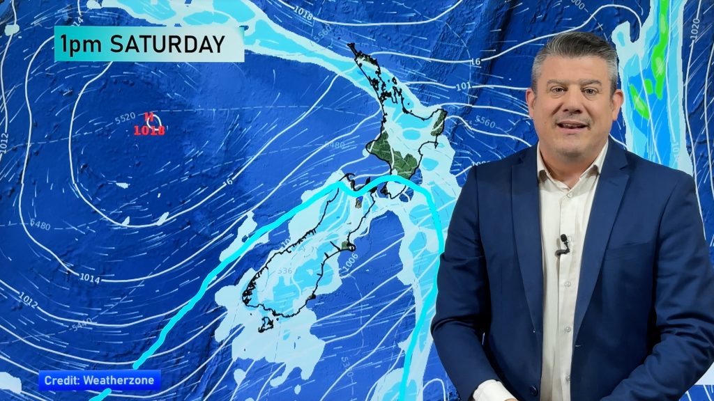
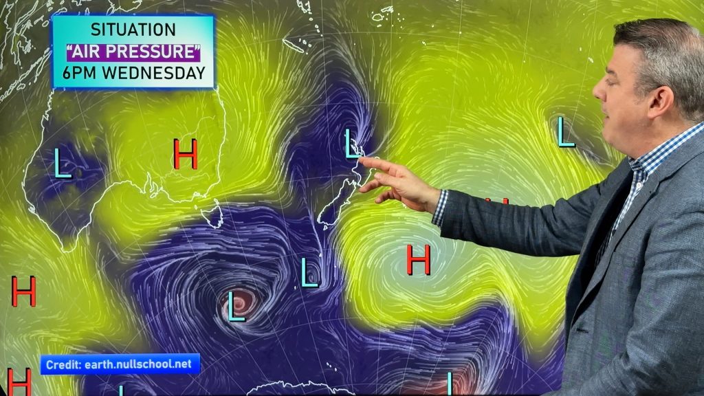
Parts of New Zealand over the next 48 hours will enjoy sub-tropical winds while northern parts of the North Island will have them dominating for about a week.
While Covid-19 means we can’t visit the tropical islands – at the moment the sub-tropics are visiting us!
The warmer than normal airflows are passing by Rarotonga, Tonga, just south of Fiji and near New Caledonia before moving down over parts of NZ.

This will see temperatures above average, particularly this Saturday nationwide.
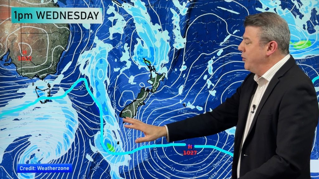
Next week it’s more about the upper North Island with a cold change slowly moving up NZ from Monday to Wednesday, falling apart Weds/Thurs in northern NZ. However after that brief change there may be, yet again, more high pressure and sub-tropical winds in the very north – and potentially elsewhere.
The set up is a positive for the horticulture sector not wanting anymore late season frosts.
But the set up isn’t great for Auckland’s water crisis. While some downpours may develop and be heavy and slow moving (a real positive) they will be isolated (a negative). So rainfall figures will vary over the next week or two – but here’s the latest general regional estimate for the next 15 days:

Keep up the water conservation efforts if you live in Auckland – don’t go washing the car this long weekend, for example!
Hopefully the showers will help the dry gardens and plants and top up rainwater tanks here and there. It will be hit and miss though.
In the meantime, enjoy the run of warmer than average weather – which feels more like mid to late November in some areas.
The colder change in the south on Monday will see daytime highs tumble over 10 degrees in some South Island regions but the warmth returns by mid week in the south.
WeatherWatch.co.nz / RuralWeather.co.nz
Comments
Before you add a new comment, take note this story was published on 21 Oct 2020.


Add new comment
Graham on 22/10/2020 12:18am
Hi Phil great work you guys are doing on here always look at you page every day very update and interesting stuff just wandering is la nina really going to effect us this year i am a farmer at thames and this weather patten feels the same as last year thank you
Reply
WW Forecast Team on 22/10/2020 6:43pm
Hi Graham, thanks very much for the kind feedback. We’re always more skeptical and take more time to care about our messaging. Niwa are again headlining (to get in the news) about many cyclones but when you look at the pattern we don’t see that occurring yet and also we don’t see La Nina peaking until Dec/Jan. We’re saying La Nina is a silver lining not a silver bullet to the dry pattern. The biggest positive we’re seeing is that Aussie is getting some good rainmakers – and our weather generally comes from their way. So some better chances for rain, but for now no real change in the pattern.
Cheers
Phil D
P.s. Our next Climate/Seasonal update will be issued next Friday October 30
Reply