Stormy small low to farewell last day of spring – Monday’s national forecast (+8 Maps)
29/11/2020 3:00pm

> From the WeatherWatch archives
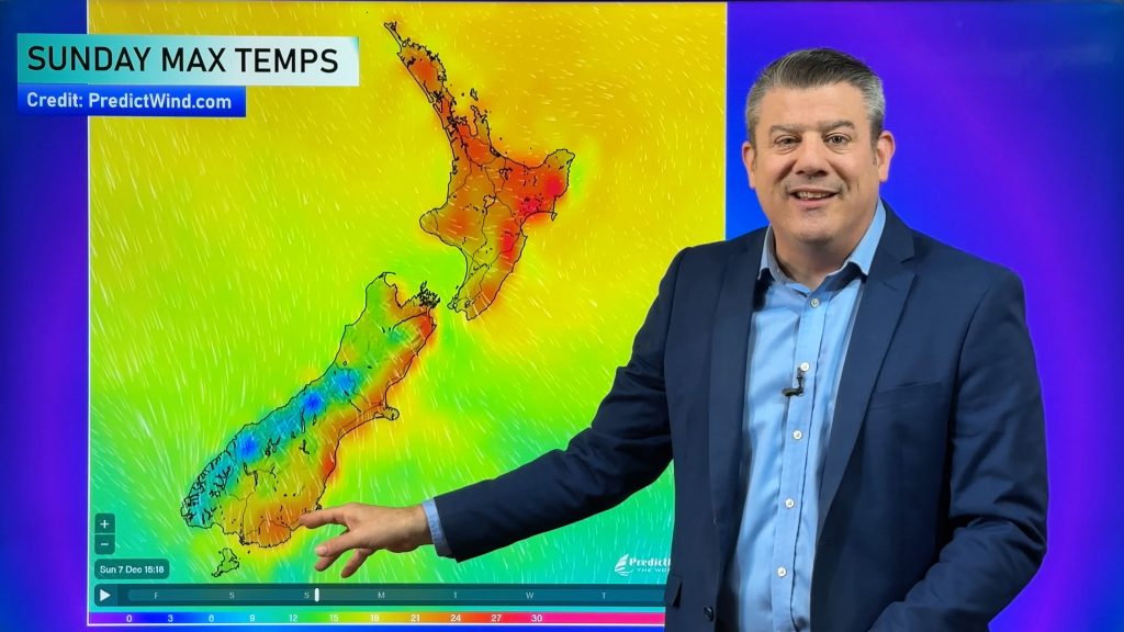
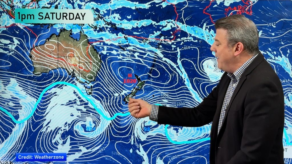
A low out of the Tasman Sea today will give New Zealanders an unsettled last day of spring on the meteorological calendar.
Severe weather is possible in both islands. You can track any MetService tax funded warnings or watches without even having to leave our site: www.weatherwatch.co.nz/maps-radars/warnings/metservice
Rain, heavy at times, moves into the West Coast today while a southerly on the eastern side (Canterbury) also drives in some rain.
The North Island is windy with westerlies in the upper half of the island while that southerly change arrives in Wellington by evening – then goes up the rest of the island into Tuesday.
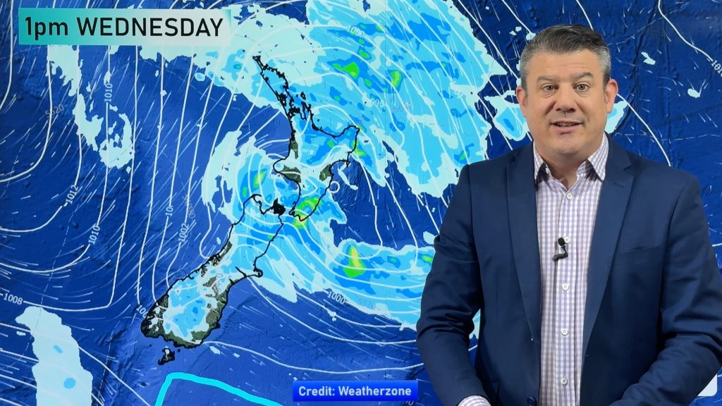
As that southerly kicks in overnight tonight and into Tuesday morning it will transfer heavy rain from the South Island to some parts of the lower North Island. It will be a cooler day in the South Island with that colder wetter southerly moving up the eastern North Island on Tuesday morning.
The Southern Ocean is stormy at the moment – so expect more spring-like westerlies to kick back in again by Wednesday.


Comments
Before you add a new comment, take note this story was published on 29 Nov 2020.


Add new comment